


Fees: Donation Tube
Open Season: June - Labor Day (based on weather conditions)
No Camping, Pack It In, Pack It Out
Water: Potable Water
Wyoming Residents: $10/night
Non-Residents: $18/night
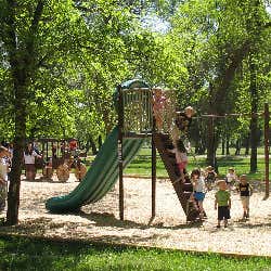
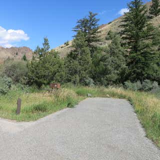
Prune Creek Overview
Prune Creek 015
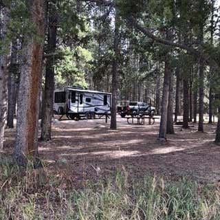
Prune Creek campground has 21 single-family sites and is located on the banks of the South Fork Tongue River in the Bighorn National Forest. Campsites can accommodate tents, trailers, and RVs (up to 40 feet). Each site also has a table, lantern post, fire ring and grate.
Campground amenities include drinking water and vault toilets. Firewood is also available for sale at the campground. Cell service is not available in the area.
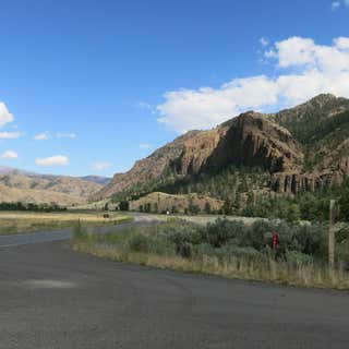
Prune Creek – Area Recreation
The area offers a wide variety of activities including fishing, hiking, backpacking, mountain biking, OHVing, horseback riding and picnicking. Wildlife viewing is also great here! Nearby Sibley Lake is open to non-motorized craft and offers an accessible fishing dock on the shoreline. Shell Falls Visitor Center is also about 23 miles to the southwest and worth a visit.
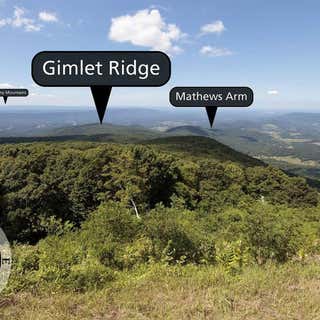
Looking north from an elevation of 3,385 ft (1031 m), Hogback Overlook extends 0.2 miles along Skyline Drive, making it the longest overlook in the Park. Straight ahead is Gimlet Ridge. Gimlet Ridge veers left and descends into the Shenandoah Valley. Veering right from Gimlet Ridge is Mathews Arm. Far in the distance, on a clear day, you may see the Allegheny Mountains.
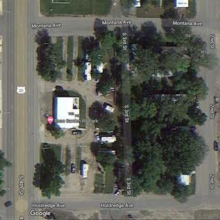
This RV Park has only 12 sites and is on the main street passing through Basin, WY enroute to Cody, WY. We are staying here until right after Labor Day. One 50 AMP site and 11 30 AMP sites. Does have one washer and one dryer and bathroom if you need to use theirs. Nothing fancy but price is right.
This campground hosts 13 sites along the Shoshone River. From the campground Elk Fork trail follows Elk Creek into the Washakie Wilderness. Corrals are provided at the trailhead.
16-day stay limit
Water: Not available
This site is not accessible to persons with mobility impairments
No cell service
Notes: Horse corrals and trailer parking are available. Maximum spur 22 feet.
This campground hosts 11 tent sites on the banks of the rushing Shoshone River. This single-loop campground for walk-in tent sites provides the best tent camping on the North Fork.
16-day stay limit
Water: Not available
This site is not accessible to persons with mobility impairments
Notes: Maximum spur 40 feet in main campground
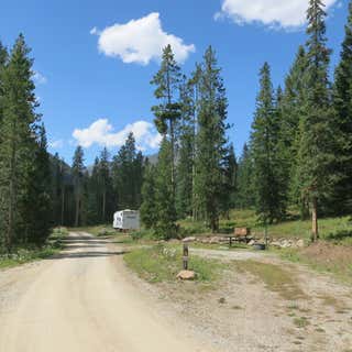
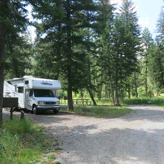
This campground hosts 21 sites along the North Fork of the Shoshone River. It's located between the Washakie and Absaroka Wilderness areas. A nearby point of interest is Pahaska Teepee and Buffalo Bill's hunting lodge. Be prepared to store food properly. Food storage, garbage collection, vault toilets available.
Hardsided vehicles only. Due to grizzly bear activity, no tents or pop-up campers allowed.
This site is not accessible to persons with mobility impairments. No cell service is available. Maximum spur 60 feet and three pull-through sites.
Open Season:
July 1, 2022 - September 26, 2022
This campground hosts 20 campsites along the Shoshone River. One and a half miles east of the campground there are two trailheads, with corrals for public use, that lead into the Washakie Wilderness. Campers can enjoy a footbridge that crosses the river, and an abundance of juniper, fir pine, spruce, wild roses, and wild flowers.
16-day stay limit
Bear boxes available
Water: Available
This site is accessible to persons with mobility impairments
No cell service
Notes: Hard-sided camping only. Due to grizzly bear activity, no tents or pop-up campers allowed. Maximum spur 40 feet
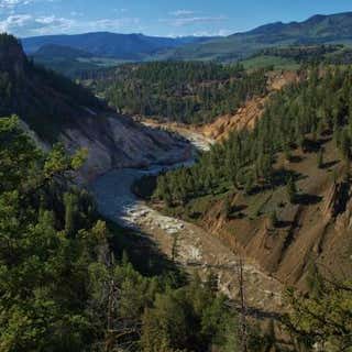
The Calcite Springs hydrothermal area is closed to visitors. To see directly down into Calcite Springs, hike the Yellowstone River Picnic Area Trail. The short, easy trail follows the canyon rim opposite this overlook. To reach the trailhead, turn right (north) at Tower Junction and park at the picnic area 0.5 mile beyond (east of) the bridge.