“explore the ingenuity of a nearly forgotten culture”
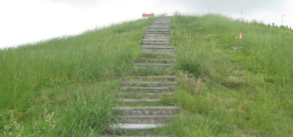
Now a nearly forgotten culture, Poverty Point at its peak 3,000 years ago was part of an enormous trading network that stretched for hundreds of miles across the continent. It was - and is - also an engineering marvel, the product of five million hours of labor. Explore the culture of a highly sophisticated people who left behind one of North America’s most important archeological sites. The Poverty Point inhabitants, like the ancient Mayans, set for themselves an enormous task as they built a complex array of earthen mounds and ridges overlooking the Mississippi River flood plain. This accomplishment is particularly impressive for a pre-agricultural society. The central construction consists of six rows of concentric ridges, which at one time were five feet high. The five aisles and six sections of ridges form a partial octagon. The diameter of the outermost ridges measures three-quarters of a mile. It is thought that these ridges served as foundations for dwellings although little evidence of structures has been found. However, features and midden deposits uncovered during excavations support this theory.a

New web address is
http://www.crt.state.la.us/louisiana-state-parks/historic-sites/poverty-point-state-historic-site/index
Be the first to add a review to the Poverty Point State Historic Site.
/-91.404578,32.6738228,14/300x172@2x?access_token=pk.eyJ1Ijoicm9hZHRyaXBwZXJzIiwiYSI6ImNsdjQ5N2VtZDA2bW8ycW13ZHAxeGhjbjkifQ.UIccpoAxc7g3BAuK4s9vjg)
Poverty Point State Historic Site
Hours
Problem with this listing? Let us know.
Has RV parking changed? Let us know.
-
Parking
-
Pets Allowed
-
Restrooms
-
Wifi
-
Wheelchair Accessible
-
Credit Cards Accepted
Nearby Hotels
Related Trip Guides
- Trip Guide
The top things to do on an I-10 road trip
- 55 Places
- 56:13
- 3,026 mi
- Trip Guide
- Weekend
Road Trip Down the Blues Highway, U.S. Route 61
- 17 Places
- 14:50
- 826 mi
- Trip Guide
- 1 Week
A road trip along the Great River Road
- 35 Places
- 37:29
- 1,907 mi
- Trip Guide
US 80 - Dixie Overland Highway
- 61 Places
- 42:43
- 2,450 mi