Created by Feleciag2008 - January 6th 2024
1100 Central Park Drive, Steamboat Springs, United States
CO, US
Douglas Pass
2815 H road, Grand Junction, CO, US
Dinosaur Hill Trailhead
N Highway 191, Moab, UT, US
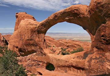
Arches National Park
I-70 West, Green River, UT, US
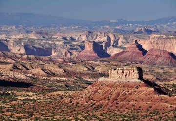
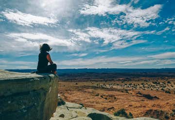
San Rafael Swell View Area
Westbound I-70 Mile Marker 141, Green River, UT, US
Rest Area - Westbound
off I - 70, Green River, UT, US
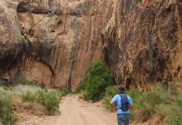
Black Dragon Canyon Trail
UT, US
San Rafael Bridge Campground
I-70 West, Emery, UT, US
Salt Wash View Area
Highway 161se, UT, US
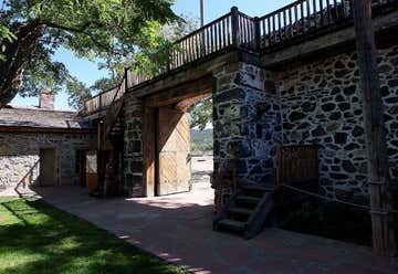
Cove Fort Historic Site
935 N Main St, Beaver, UT, US
El Bambi Cafe
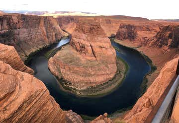
Highway 89, Page, AZ, US
Horseshoe Bend
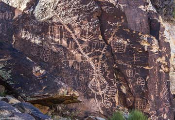
Parowan Gap Road, Parowan, UT, US
Parowan Gap Petroglyphs Dispersed Camping
Hwy 14, Cedar City, UT, US
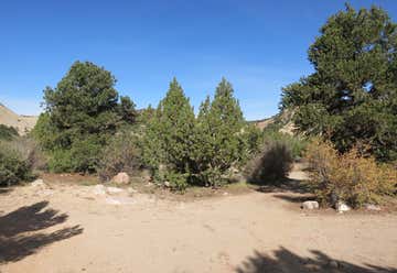
Coal Creek Dispersed Camping
State Highway 143, Cedar City, UT, US
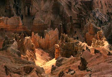
Cedar Breaks National Monument
Kolob Carqua Rd, New Harmony, UT, US
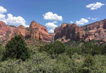
Kolob Canyons Viewpoint
3752 E Kolob Canyon Rd, New Harmony, UT, US
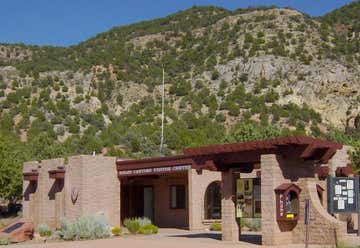
Kolob Canyons Visitor Center
FR-032, Hurricane, UT, US
Leeds Canyon Designated Dispersed Camping
BLM Rd 1005, Littlefield, AZ, US
Cedar Pocket Pass Dispersed Camping
Hwy 91, Littlefield, AZ, US
Virgin River - Littlefield Dispersed Camping