Remove Ads

Natural California Road Trip

Roll the windows down and take one of America's most epic road trips...

  • 76
  • 77:23
  • 3,010 mi
  • $392
Take This Trip

Created by Josh - July 14th 2019

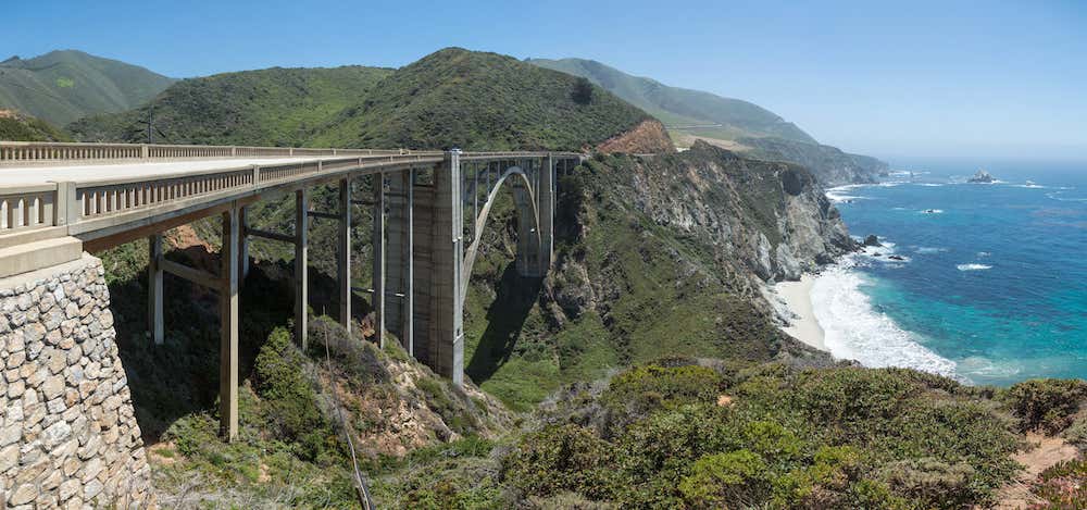
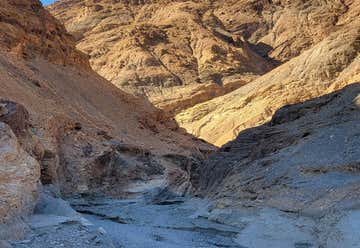
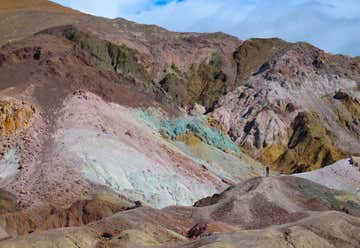
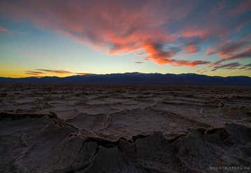
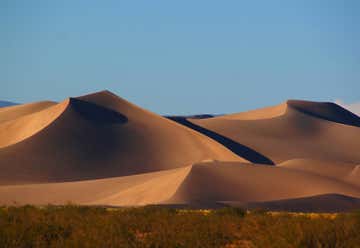
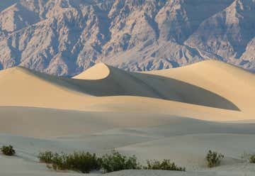
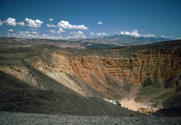
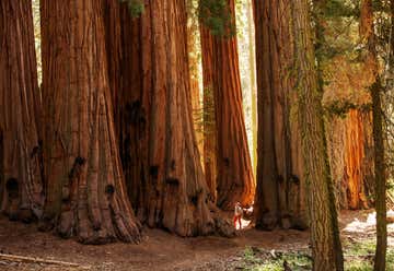
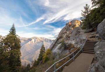
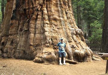
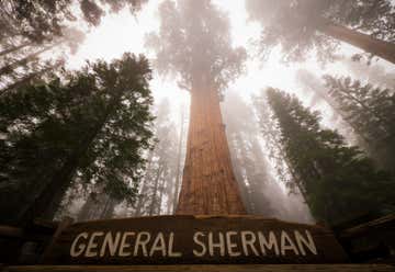
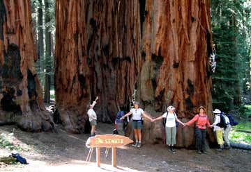
Picture it: Driving down the scenic California coast, in the awesome car of your choice, windows (or top) down, blasting your favorite tunes…sounds like the perfect road trip, right? Well, the Pacific Coast Highway, formally known as California State Route 1, is the ultimate road trip route. It’s designated an All-American road for its scenic views, and it packs one heck of a path that takes you past some pretty rad attractions and places. Here’s a guide to the must-see spots while road tripping the PCH!

5801 Wilshire Blvd, Los Angeles, CA, US

Page Museum At The La Brea Tar Pits

1
152mi 02h 55m
Photo of Joshua Tree National Park
4.5

74485 National Park Dr, Twentynine Palms, CA, US

Joshua Tree National Park

1
2
81mi 01h 52m
Photo of Kelso Sand Dunes
4.4

Mojave National Preserve, Baker, CA, US

Kelso Sand Dunes

2
3
33mi 01h 04m

CA, US

Cima Dome

3
4
152mi 02h 45m
Photo of Dante's View
4.1

Dante's View Road, CA, US

Dante's View

4
5
20mi 00h 31m
Photo of Twenty Mule Team Canyon
4.5

Death Valley 4 mi south of Furnace Creek, Death Valley Junction, CA, US

Twenty Mule Team Canyon

5
6
20mi 00h 31m
Photo of Artist's Drive and Palette
4.9

Artist's Drive, CA, US

Artist's Drive and Palette

6
7
12mi 00h 18m
Photo of Badwater Basin
4.7

PO Box 579, CA, US

Badwater Basin

7
8
69mi 01h 23m
Photo of Big Dune
3.0

Mojave Road, Amargosa Valley, NV, US

Big Dune

8
9
61mi 01h 37m
Photo of Mesquite Flat Sand Dunes
4.5

California 190, CA, US

Mesquite Flat Sand Dunes

9
10
5mi 00h 26m
Photo of Mosaic Canyon
4.5

Mosaic Canyon Rd, CA, US

Mosaic Canyon

10
11
285mi 06h 03m
Photo of Sequoia National Park
4.5

47050 Generals Highway, Three Rivers , CA, Three Rivers, CA, US

Sequoia National Park

11
12
30mi 01h 27m
Photo of Moro Rock
5.0

Moro Rock Loop, Three Rivers, CA, US

Moro Rock

12
13
1mi 00h 17m

47050 Generals Hwy, Three Rivers, CA, US

Sequoia and Kings Canyon National Parks

13
14
2mi 00h 19m
Photo of The President Tree
4.2

Giant Forest of Sequoia National Park, Three Rivers, CA, US

The President Tree

14
15
4mi 00h 24m
Photo of General Sherman Tree
4.5

Giant Forest of Sequoia National Park, Three Rivers, CA, US

General Sherman Tree

15
16
2mi 00h 04m
Photo of Tokopah Falls
5.0

Lodgepole road, Three Rivers, CA, US

Tokopah Falls

16
17
29mi 00h 50m
18
46mi 01h 15m
Photo of Zumwalt Meadow
5.0

South side of Hwy 180, Cedar Grove, CA, US

Zumwalt Meadow

18
19
4mi 00h 06m
Photo of Kings Canyon National Park
4.5

86724 Hwy 180, Three Rivers, CA, US

Kings Canyon National Park

19

The best time to travel the Pacific Coast Highway: It should be noted that June, July and August are particularly foggy months. If you're looking for a time of year with the clearest views and best weather, October is generally the best time to road trip down the PCH. Also, the summer months can get very crowded at many of the attractions along the route, plus since it's high tourist season you'll experience higher rates at hotels and longer waits at restaurants (many of which are also seasonal and closed in winter).