
2
52mi
•
01h 01m
4
64mi
•
01h 25m
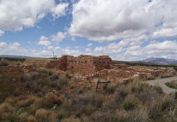
Blanding, Utah, United States
4

7
18mi
•
00h 21m
11
41mi
•
00h 60m
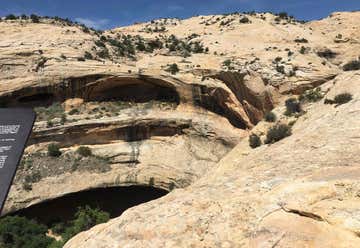
Halls Crossing, Utah, United States
11
12
87mi
•
01h 47m
Blanding, Utah, United States
12
14
4mi
•
00h 08m
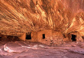
Hwy 153, access sign Sand Island Four miles southwest of Bluff, Bluff, UT, US
14
16
11mi
•
00h 15m
19
7mi
•
00h 09m
Mexican Hat, Utah, United States
19
