Alpine, UT, US


7
21mi
•
00h 30m
Tijuana, MX
7

15
29mi
•
01h 06m
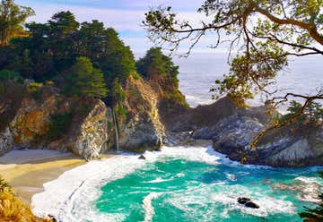
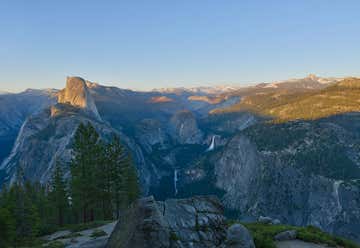
Yosemite National Park, California, United States
15
18
12mi
•
00h 19m
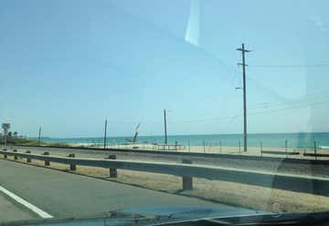
Muir Beach, CA, US
18