“provides access to Mosquito Lake and Rattlesnake Mountain”
The Rattlesnake Mountain Trail offers views of the Fish Creek Valley, Mt. Bailey, Mt. Thielsen and Diamond Peak. Passing through mixed stands of true fir and mountain hemlock, the trail provides access to Mosquito Lake and Rattlesnake Mountain, the site where a fire lookout once stood. Directions from Roseburg: Travel east on Highway 138 and turn south onto Road 37, the Fish Creek road, approximately 1/4 mile east of the east entrance to Toketee Ranger Station. Continue approximately five miles and turn right onto Road 3702, the Happy Valley road. Proceed approximately 1 1/2 miles and turn left onto Road 3702-999. Continue another two miles then turn right onto Road 3702-500. Follow this approximately 1 1/4 miles and turn left staying on 3702-500. Continue approximately another four miles to the end of the road. Seasonal Information:Normally Accessible: Summer through Fall .

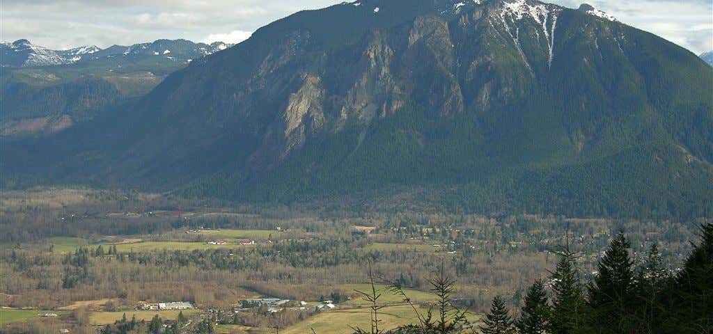
The Rattlesnake Mountain Trail offers views of the Fish Creek Valley, Mt. Bailey, Mt. Thielsen and Diamond Peak. Passing through mixed stands of true fir and mountain hemlock, the trail provides access to Mosquito Lake and Rattlesnake Mountain, the site where a fire lookout once stood.
Be the first to add a review to the Rattlesnake Mountain Trail.
/-122.6531207,42.9127484,14/300x172@2x?access_token=pk.eyJ1Ijoicm9hZHRyaXBwZXJzIiwiYSI6ImNsdjQ5N2VtZDA2bW8ycW13ZHAxeGhjbjkifQ.UIccpoAxc7g3BAuK4s9vjg)
Rattlesnake Mountain Trail
Hours
Problem with this listing? Let us know.
Has RV parking changed? Let us know.
-
Parking
-
Pets Allowed
-
Restrooms
-
Wifi
-
Wheelchair Accessible
-
Credit Cards Accepted
Nearby Hotels
Related Trip Guides
- Trip Guide
A road trip to filming locations featured in 'The Goonies'
- 6 Places
- 00:57
- 28 mi
- Trip Guide
The Ultimate Guide to Crater Lake National Park
- 15 Places
- Trip Guide
- Weekend
Pacific Coast Highway: Oregon - Washington
- 30 Places
- 17:36
- 670 mi
- Trip Guide
The top things to do on a U.S. Route 20 road trip
- 23 Places
- 60:25
- 3,576 mi