“good place to hike”
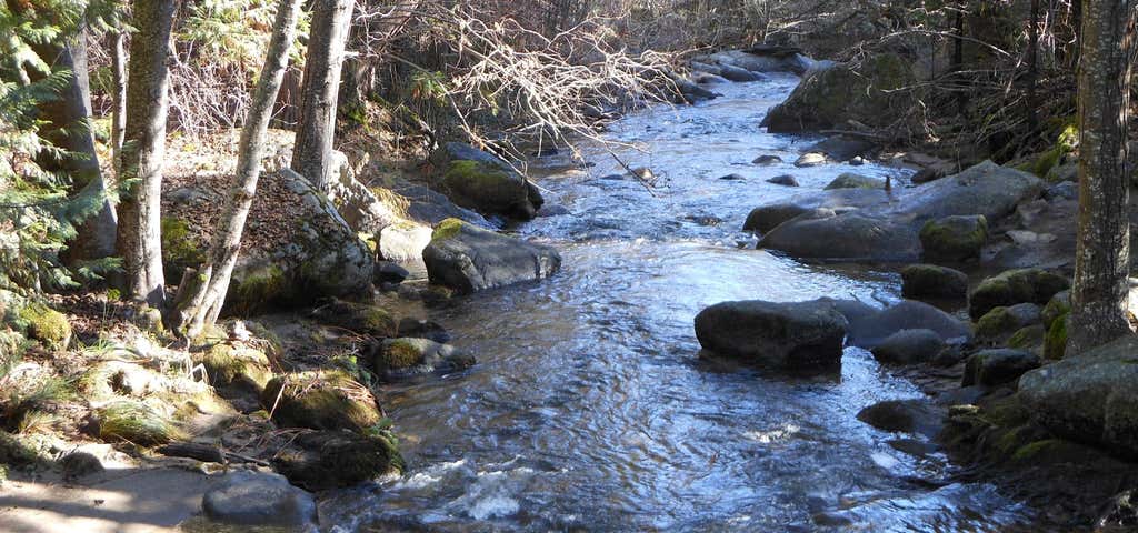
The Lewis Creek National Recreation Trail is in the Sierra National Forest about ten miles from the southern entrance to Yosemite National Park. From Fresno, California, Highway 41 (the Southern Yosemite Highway) reaches the trail after about 50 miles. The trail leads to several impressive waterfalls through a Black Oak, Incense Cedar and Ponderosa Pine forest. Dogwoods, Indian Pink and the fragrant Mountain Misery bloom in the spring. Lady Bugs flit about in the summer (be careful, they bite). Offering recreation opportunities year-round, it occupies that sweet spot in the Sierra Nevada above the scorching summer temperatures of the San Joaquin Valley and below the heavy snows of the High Sierra. There are three trailheads available for the hiker. The lower, southern trailhead (on the Cedar Valley Road, off Highway 41) is best for hiking the entire length out and back. All the elevation is gained in the first half of the hike. For those with limited amounts of time, the middle trailhead on Highway 41 is best. It offers quick access to Corlieu Falls, the most impressive falls on the trail. The northern trailhead in Sugar Pine, is closest to Red Rock Falls.

At the trail
We followed the directions to the trail linked to the Roadtripper site and did not end up
Be the first to add a review to the Lewis Creek National Recreation Trail.
/-119.6471564,37.3858317,14/300x172@2x?access_token=pk.eyJ1Ijoicm9hZHRyaXBwZXJzIiwiYSI6ImNsdjQ5N2VtZDA2bW8ycW13ZHAxeGhjbjkifQ.UIccpoAxc7g3BAuK4s9vjg)
Lewis Creek National Recreation Trail
Hours
Problem with this listing? Let us know.
Has RV parking changed? Let us know.
-
Parking
-
Pets Allowed
-
Restrooms
-
Wifi
-
Wheelchair Accessible
-
Credit Cards Accepted
Nearby Hotels
Related Trip Guides
- Trip Guide
Pay Tribute and Reflect at These US Monuments and Memorials
- 14 Places
- Trip Guide
The Ultimate Guide To Joshua Tree National Park
- 53 Places
- 11:44
- 408 mi
- Trip Guide
The top things to do on an I-40 road trip
- 35 Places
- 49:44
- 2,851 mi
- Trip Guide
The top things to do on an I-10 road trip
- 55 Places
- 56:13
- 3,026 mi