“unique natural formation”
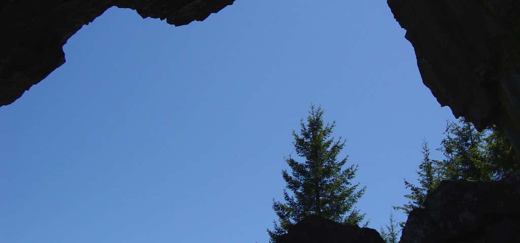
This unique natural formation was found during the great Sardine Creek fire of 1951. The arch stands fifty feet tall and forty feet wide. Thousands of years of natural weathering caused the rocky material to fracture and break apart. This process created the arch and its tiny caves that are found around the base of this impressive structure. Directions from John Day: From John Day, travel east toward Prairie City on Highway 26 about 10 miles. Turn north onto County road 18. Go approximately 10 miles to the junction of Forest Service road 36 and County Road 18. Follow the 36 road along Camp Creek to Forest Service road 3650. Drive the 3650 road to the junction of Forest Service road 3650-468 where the trailhead is located.
Be the first to add a review to the Arch Rock Trail.
/-118.95301,44.4159883,14/300x172@2x?access_token=pk.eyJ1Ijoicm9hZHRyaXBwZXJzIiwiYSI6ImNsdjQ5N2VtZDA2bW8ycW13ZHAxeGhjbjkifQ.UIccpoAxc7g3BAuK4s9vjg)
Arch Rock Trail
Hours
Problem with this listing? Let us know.
Has RV parking changed? Let us know.
-
Parking
-
Pets Allowed
-
Restrooms
-
Wifi
-
Wheelchair Accessible
-
Credit Cards Accepted
Nearby Hotels
Related Trip Guides
- Trip Guide
A road trip to filming locations featured in 'The Goonies'
- 6 Places
- 00:57
- 28 mi
- Trip Guide
The Ultimate Guide to Crater Lake National Park
- 15 Places
- Trip Guide
- Weekend
Pacific Coast Highway: Oregon - Washington
- 30 Places
- 17:36
- 670 mi
- Trip Guide
The top things to do on a U.S. Route 20 road trip
- 23 Places
- 60:25
- 3,576 mi