“a difficult 1.5 mile hike”
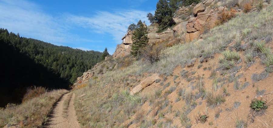
Dome Rock Trail #3381 is a difficult 1.5 mile hike at an elevation of 4,859 feet. This trail leads to Dome Rock, a former lookout site. Directions from Detroit: Travel west on Hwy. #22 for and turn onto Road #2233 (French Creek Road.) Continue for 7.7 miles and the trailhead is just before the intersection with Road #520. It climbs the cutback on the south side of Road #2233. Travel on Tumble Ridge Trail to access this trail Seasonal Information: Normally Open: Year-round (NOTE: Recommended season is late Spring to early Fall.)

Dome Rock Trail #3381 is a difficult 1.5 mile hike at an elevation of 4,859 feet. This trail leads to Dome Rock, a former lookout site.
Be the first to add a review to the Dome Rock Trail.
/-122.1902972,44.7663617,14/300x172@2x?access_token=pk.eyJ1Ijoicm9hZHRyaXBwZXJzIiwiYSI6ImNsdjQ5N2VtZDA2bW8ycW13ZHAxeGhjbjkifQ.UIccpoAxc7g3BAuK4s9vjg)
Dome Rock Trail
Hours
Problem with this listing? Let us know.
Has RV parking changed? Let us know.
-
Parking
-
Pets Allowed
-
Restrooms
-
Wifi
-
Wheelchair Accessible
-
Credit Cards Accepted
Nearby Hotels
Related Trip Guides
- Trip Guide
A road trip to filming locations featured in 'The Goonies'
- 6 Places
- 00:57
- 28 mi
- Trip Guide
The Ultimate Guide to Crater Lake National Park
- 15 Places
- Trip Guide
- Weekend
Pacific Coast Highway: Oregon - Washington
- 30 Places
- 17:36
- 670 mi
- Trip Guide
The top things to do on a U.S. Route 20 road trip
- 23 Places
- 60:25
- 3,576 mi