“climb to the top!”
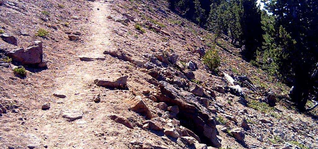
This trail begins from the easternmost point of East Rim Drive, 14 miles east of Park Headquarters. The trail leads southward from East Rim Drive gaining elevation slowly in the first half mile. It begins climbing steeply along the western base of the peak, then turns eastward ascending to a ridge south of the summit. From this point the trail uses switchbacks to ascend the peak. The trail traverses northwestward to the western ridge then turns eastward for the final ascent. It ends two and a half miles from the trailhead on the 8,929-foot peak. Directions from Annie Spring Entrance Station: Drive northward 4 miles to Park Headquarters. Turn on to East Rim Drive and travel 14 miles to the trailhead, which lies on the right side of the road.
Reviews

This trail begins from the easternmost point of East Rim Drive, 14 miles east of Park Headquarters. The trail leads southward from East Rim Drive gaining elevation slowly in the first half mile. It begins climbing steeply along the western base of the peak, then turns eastward ascending to a ridge south of the summit. From this point the trail uses switchbacks to ascend the peak. The trail traverses northwestward to the western ridge then turns eastward for the final ascent. It ends two and a half miles from the trailhead on the 8,929-foot peak.
Be the first to add a review to the Mount Scott Trail.
/-122.0722417,42.9127833,14/300x172@2x?access_token=pk.eyJ1Ijoicm9hZHRyaXBwZXJzIiwiYSI6ImNsdjQ5N2VtZDA2bW8ycW13ZHAxeGhjbjkifQ.UIccpoAxc7g3BAuK4s9vjg)
Mount Scott Trail
Hours
Problem with this listing? Let us know.
Has RV parking changed? Let us know.
-
Parking
-
Pets Allowed
-
Restrooms
-
Wifi
-
Wheelchair Accessible
-
Credit Cards Accepted
Nearby Hotels
Related Trip Guides
- Trip Guide
A road trip to filming locations featured in 'The Goonies'
- 6 Places
- 00:57
- 28 mi
- Trip Guide
The Ultimate Guide to Crater Lake National Park
- 15 Places
- Trip Guide
- Weekend
Pacific Coast Highway: Oregon - Washington
- 30 Places
- 17:36
- 670 mi
- Trip Guide
The top things to do on a U.S. Route 20 road trip
- 23 Places
- 60:25
- 3,576 mi