“Where the Coos hits the Pacific”
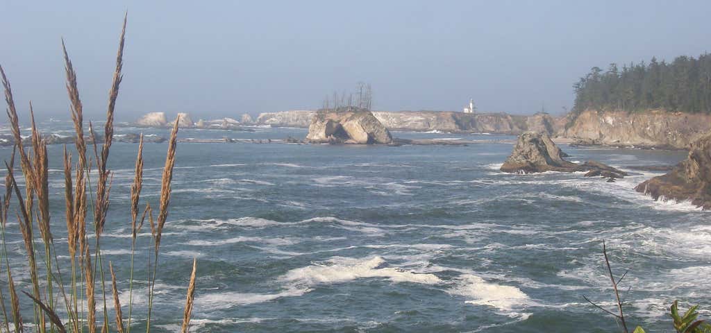
Coos Bay is an S-shaped inlet where the Coos River enters the Pacific Ocean, approximately 10 miles (16 km) long and two miles (three km) wide, on the Pacific Ocean coast of southwestern Oregon in the United States. The estuary is situated south of the Salmon River. The city of Coos Bay, once named Marshfield, was renamed for the bay and is located on its inner side. The Port of Coos Bay is the largest and deepest port between San Francisco, California and the Columbia River. Coos Bay is located in northern Coos County. Other communities on the bay include North Bend and Charleston. Many of the fishing and pleasure boats that call Coos Bay home are docked in Charleston. Coos Bay is the proposed site of a liquefied natural gas (LNG) terminal by Jordan Cove Energy Project. The terminal would export liquified natural gas primarily to overseas market through the proposed 36-inch-diameter (910 mm) Pacific Connector Gas Pipeline which would extend 234 miles from Malin, near Klamath Falls to Jordan Cove on Coos Bay. The terminal and pipeline projects are under regulatory review. Oregon Governor Kulongoski expressed various environmental concerns.
Be the first to add a review to the Coos Bay.
/-124.2178903,43.3665007,14/300x172@2x?access_token=pk.eyJ1Ijoicm9hZHRyaXBwZXJzIiwiYSI6ImNsdjQ5N2VtZDA2bW8ycW13ZHAxeGhjbjkifQ.UIccpoAxc7g3BAuK4s9vjg)
Coos Bay
Hours
Problem with this listing? Let us know.
Has RV parking changed? Let us know.
-
Parking
-
Pets Allowed
-
Restrooms
-
Wifi
-
Wheelchair Accessible
-
Credit Cards Accepted
Nearby Hotels
Related Trip Guides
- Trip Guide
A road trip to filming locations featured in 'The Goonies'
- 6 Places
- 00:57
- 28 mi
- Trip Guide
The Ultimate Guide to Crater Lake National Park
- 15 Places
- Trip Guide
- Weekend
Pacific Coast Highway: Oregon - Washington
- 30 Places
- 17:36
- 670 mi
- Trip Guide
The top things to do on a U.S. Route 20 road trip
- 23 Places
- 60:25
- 3,576 mi