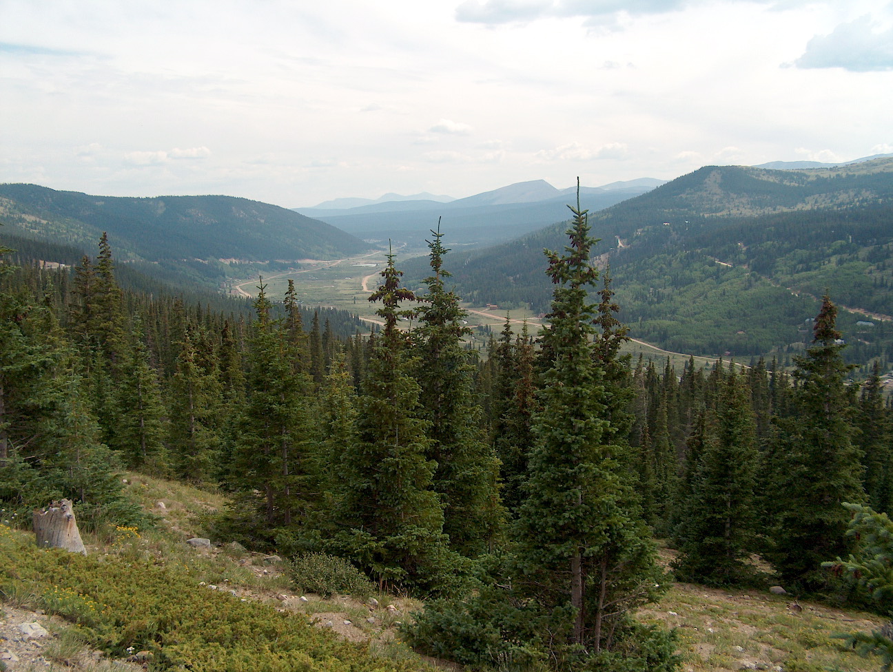
Hoosier Pass elevation is a high mountain pass in the Rocky Mountains of central Colorado in the United States. The name derives from Indiana, nicknamed the "Hoosier State," which was the original home of many pioneers. The U.S. Department of Agriculture's Forest Service sign at Hoosier Pass, May 29, 2006 The pass is located on the Continental Divide at the northern end of the Mosquito Range, in a gap between Mount Lincoln (west) and Hoosier Ridge (east). It sits on the boundary between Park (south) and Summit (north) counties. The pass provides a route between the headwaters of the Blue River (tributary of the Colorado River) to the north and the headwaters of the South Platte River in South Park to the south. It is traversed by State Highway 9 between the towns of Breckenridge (north) and Fairplay (south). The highway over the pass provides an alternative route from Denver to the ski areas near Breckenridge and Keystone. It is generally open all year round, is traversable by all vehicles in good weather, but is occasionally closed during winter storms. The road over the pass has a smooth approach on the south side but has several switchbacks on the north side with a grade of 8%. This pass is the highest point on the TransAmerica Trail, a transcontinental bicycle route that stretches from Yorktown, Virginia to Astoria, Oregon.
Be the first to add a review to the Hoosier Pass.
/-106.06263098523596,39.36188269538481,14/300x172@2x?access_token=pk.eyJ1Ijoicm9hZHRyaXBwZXJzIiwiYSI6ImNsdjQ5N2VtZDA2bW8ycW13ZHAxeGhjbjkifQ.UIccpoAxc7g3BAuK4s9vjg)
Hoosier Pass
Hours
Problem with this listing? Let us know.
Has RV parking changed? Let us know.
-
Parking
-
Pets Allowed
-
Restrooms
-
Wifi
-
Wheelchair Accessible
-
Credit Cards Accepted
Nearby Hotels
Related Trip Guides
- Trip Guide
Road trip to the filming locations of 'Dumb and Dumber'
- 8 Places
- 41:01
- 2,643 mi
- Trip Guide
The top things to do on a U.S. Route 20 road trip
- 23 Places
- 60:25
- 3,576 mi
- Trip Guide
Roadtrippers guide to mysterious Mesa Verde National Park
- 10 Places
- Trip Guide
The Ultimate Guide to Rocky Mountain National Park
- 15 Places