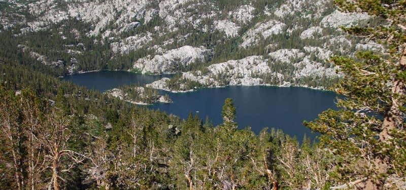
“Beautiful views”
ATV's and Mountain Bikes are prohibited. Directions: From John Day, travel south on US Highway 395 to County road 65. Take County 65 south for approximately 4 miles. Turn left onto Forest Service road 6510. Take the Joaquin Miller Trail #219 to the intersection with Tamarack Creek Trail #202. Normally Open: June through November .
Read More >
Thanks!
Your Rating
1
2
3
4
5

June 17, 2015
Considerations: This trail is very steep and rugged. Parking space at the trailhead is limited and turning stock trailers may be difficult. Passenger vehicles are encouraged to park to allow room for vehicles pulling stock trailers to turn around.
Was this helpful?
Be the first to add a review to the Tamarack Creek Trail.
/-118.9898103,44.2705065,14/300x172@2x?access_token=pk.eyJ1Ijoicm9hZHRyaXBwZXJzIiwiYSI6ImNsdjQ5N2VtZDA2bW8ycW13ZHAxeGhjbjkifQ.UIccpoAxc7g3BAuK4s9vjg)
Tamarack Creek Trail
John Day Burns Highway, Malheur National Forest
Canyon City,
Oregon
97820
USA
Hours
Hours not available
Problem with this listing? Let us know.
Has RV parking changed? Let us know.
-
Parking
-
Pets Allowed
-
Restrooms
-
Wifi
-
Wheelchair Accessible
-
Credit Cards Accepted
Nearby Hotels
John Day,
Oregon
John Day,
Oregon
Prairie City,
Oregon
John Day,
Oregon
John Day,
Oregon
Related Trip Guides
- Trip Guide
A road trip to filming locations featured in 'The Goonies'
- 6 Places
- 00:57
- 28 mi
- Trip Guide
The Ultimate Guide to Crater Lake National Park
- 15 Places
- Trip Guide
- Weekend
Pacific Coast Highway: Oregon - Washington
- 30 Places
- 17:36
- 670 mi
- Trip Guide
The top things to do on a U.S. Route 20 road trip
- 23 Places
- 60:25
- 3,576 mi
46284