“70,900-acres”
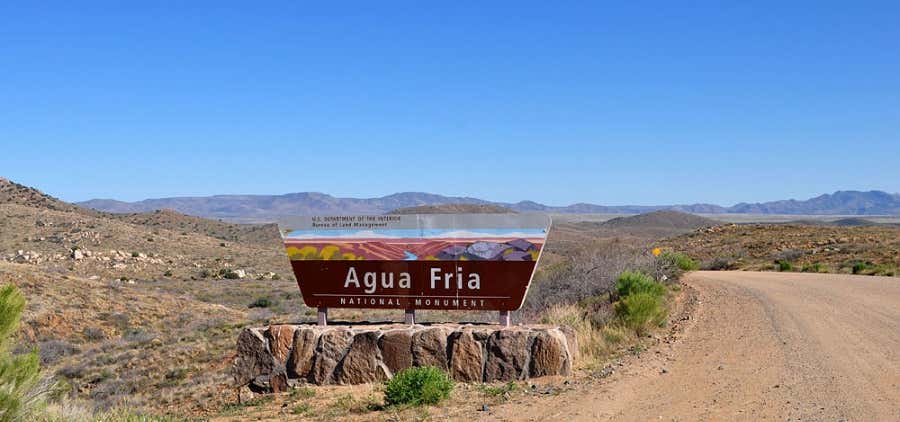
Adjacent to rapidly expanding communities, the 70,900-acre Agua Fria National Monument is approximately 40 miles north of central Phoenix. The area is located on a high mesa semi-desert grassland, cut by the canyon of the Agua Fria River and other ribbons of valuable riparian forest, contributing to an outstanding biological resource. The diversity of vegetative communities, topographic features, and a dormant volcano decorates the landscape with a big rocky, basaltic plateau. The Agua Fria river canyon cuts through this plateau exposing precambrian rock along the canyon walls. Elevations range from 2,150 feet above sea level along the Agua Fria Canyon to about 4,600 feet in the northern hills. This expansive mosaic of semi-desert area, cut by ribbons of valuable riparian forest, offers one of the most significant systems of prehistoric sites in the American Southwest. In addition to the rich record of human history, the monument contains outstanding biological resources.

Was beautiful to see covered in snow!
Be the first to add a review to the Agua Fria National Monument.
/-112.076389,34.154167,14/300x172@2x?access_token=pk.eyJ1Ijoicm9hZHRyaXBwZXJzIiwiYSI6ImNsdjQ5N2VtZDA2bW8ycW13ZHAxeGhjbjkifQ.UIccpoAxc7g3BAuK4s9vjg)
Agua Fria National Monument
Hours
- Mon - Fri: 7:30 am - 4:15 pm
Problem with this listing? Let us know.
Has RV parking changed? Let us know.
-
Parking
-
Pets Allowed
-
Restrooms
-
Wifi
-
Wheelchair Accessible
-
Credit Cards Accepted
Nearby Hotels
Related Trip Guides
- Trip Guide
The top things to do on an I-40 road trip
- 35 Places
- 49:44
- 2,851 mi
- Trip Guide
The top things to do on an I-10 road trip
- 55 Places
- 56:13
- 3,026 mi
- Trip Guide
The ultimate guide to Petrified Forest National Park
- 15 Places
- Trip Guide
The ultimate guide to Grand Canyon National Park
- 14 Places