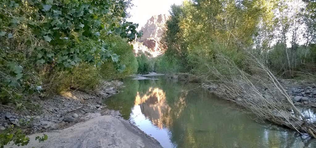
The Big Sandy River is both an intermittent and perennial stream in Mohave and La Paz counties in northwestern Arizona in the United States. It begins where Cottonwood Wash and Trout Creek converge in the Hualapai Indian Reservation east of U.S. Route 93 then flows past Wikieup south of Kingman. The Big Sandy River then passes the Signal Ghost Town Site, meanders through the Arrastra Mountain Wilderness, and joins the Santa Maria River in Southern Mohave County to form the Bill Williams River. The Bill Williams River then empties into Alamo Lake State Park. The Big Sandy River is long. The Big Sandy drainage basin covers approximately in Mohave, La Paz, and Yavapai counties. The Hualapai Mountains are west of the river, and the Aquarius and Mohon Mountains lie to the east and southeast, the Juniper Mountains further east, and the Peacock Mountains and Cottonwood Mountains to the north. Hualapai Peak at is the highest point in the basin. The river flows through the Arrastra Mountain Wilderness.
Be the first to add a review to the Big Sandy River.
/-113.52666666666667,34.31055555555555,14/300x172@2x?access_token=pk.eyJ1Ijoicm9hZHRyaXBwZXJzIiwiYSI6ImNsdjQ5N2VtZDA2bW8ycW13ZHAxeGhjbjkifQ.UIccpoAxc7g3BAuK4s9vjg)
Big Sandy River
Hours
Problem with this listing? Let us know.
Has RV parking changed? Let us know.
-
Parking
-
Pets Allowed
-
Restrooms
-
Wifi
-
Wheelchair Accessible
-
Credit Cards Accepted
Related Trip Guides
- Trip Guide
The top things to do on an I-40 road trip
- 35 Places
- 49:44
- 2,851 mi
- Trip Guide
The top things to do on an I-10 road trip
- 55 Places
- 56:13
- 3,026 mi
- Trip Guide
The ultimate guide to Petrified Forest National Park
- 15 Places
- Trip Guide
The ultimate guide to Grand Canyon National Park
- 14 Places