Remove Ads

Albuquerque Trip

  • 51
  • 41:20
  • 2,044 mi
  • $311
Take This Trip

Created by chill2125 - August 13th 2023

1
229mi 04h 09m
Photo of Blue Mesa Point
5.0

12271 W US Hwy 50, Gunnison, CO, US

Blue Mesa Point

1
2
35mi 00h 46m
Photo of Black Canyon of the Gunnison National Park - South Rim
4.3
2
3
140mi 03h 01m

27501 Hwy 184, Dolores, CO, US

Canyons of the Ancients Visitor Center and Museum

3
4
32mi 00h 50m
Photo of Mesa Verde
4.5

Mile .7 Headquarters Loop Road, CO, US

Mesa Verde

4
5
8mi 00h 20m
Photo of Cliff Palace
5.0

CO, US

Cliff Palace

5
6
54mi 01h 14m
Photo of Ute Mountain Tribal Park
4.4

Highway Junction 160/491, Towaoc, CO, US

Ute Mountain Tribal Park

6
7
11mi 00h 13m
Photo of Yucca House National Monument
3.2
7
8
6mi 00h 10m
Photo of Ute Mountain Tribal Park
4.5

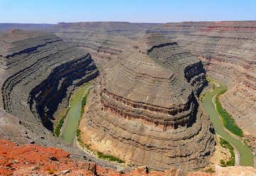
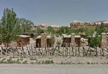
Located 20-miles south of Cortez, CO at the Junction of Hwy. 160/491, Towaoc, CO, US

Ute Mountain Tribal Park

8
9
30mi 00h 33m
Photo of Four Corners Monument
3.0

NM-597, Teec Nos Pos, AZ, US

Four Corners Monument

9
10
6mi 00h 08m
Photo of Teec Nos Pos Trading Post
4.0

Highway 160 & 64, Teec Nos Pos, AZ, US

Teec Nos Pos Trading Post

10
11
55mi 01h 09m
Photo of 16 Room Cliff House
4.6

Off of US 441 South of San Juan River, Bluff, UT, US

16 Room Cliff House

11
12
20mi 00h 34m
Photo of Bluff Fort Visitors Center
3.3

550 Black Locust Ave, Bluff, UT, US

Bluff Fort Visitors Center

12
13
0mi 00h 01m

550 Black Locust Ave, Bluff, UT, US

Bluff Fort Historic Site

13
14
0mi 00h 02m

913 E Navajo Twins Dr, Bluff, UT, US

Twin Rocks Trading Post

14
15
4mi 00h 08m
Photo of Sand Island Petroglyphs
4.5

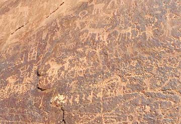
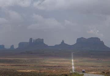
Hwy 153, access sign Sand Island Four miles southwest of Bluff, Bluff, UT, US

Sand Island Petroglyphs

15
16
15mi 00h 27m
Photo of Valley of the Gods
4.8

17 mile loop road, UT, US

Valley of the Gods

16
17
10mi 00h 21m
Photo of Goosenecks State Park
4.5

660 West 400 North, Blanding, UT, US

Goosenecks State Park

17
18
5mi 00h 09m
Photo of Mexican Hat Rock Formation
4.0

US Highway 163 Northeast, Mexican Hat, UT, US

Mexican Hat Rock Formation

18
19
10mi 00h 12m
Photo of Forrest Gump Point
4.5

Highway US 163, Mexican Hat, UT, US

Forrest Gump Point

19