Created by Serena669 - May 19th 2020
National Forest Development Road 398, Troy, Montana
Troy, MT, US
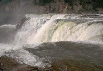
Kootenai Falls
64 Grinnell Drive, West Glacier, MT, US
Glacier National Park
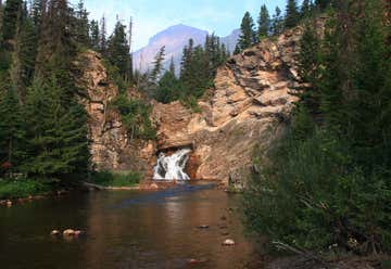
2 Two Medicine Rd, MT, US
Running Eagle Falls
Neihart, Montana, United States
Bozeman, Montana, United States
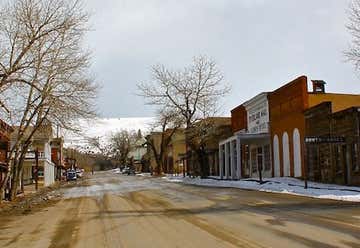
219 Wallace Street, Virginia City, MT, US
Virginia City, Montana
Rimrock Road, Billings, MT, US
The Rimrocks
3401 Coburn Road, Billings, MT, US
Pictograph Cave State Park
MT, US
Pictograph Cave
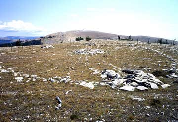
Forest Road 12, Lovell, WY, US
Big Horn Medicine Wheel
Buffalo, Wyoming, United States
WY, US
Mound Terrace
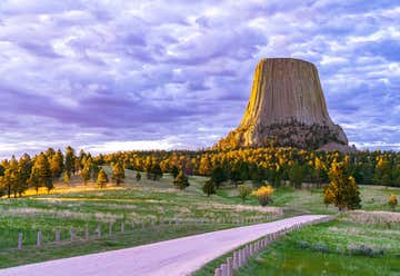
149 State Highway 110, Devils Tower, WY, US
Devils Tower National Monument
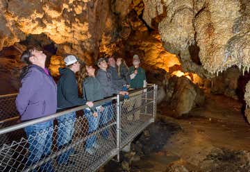
11149 US Highway 16, Custer, SD, US
Jewel Cave National Monument
SD, US
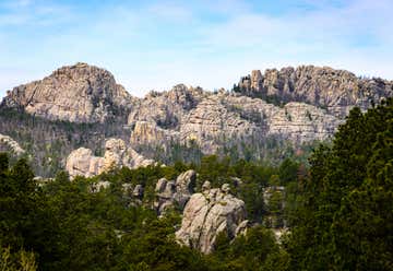
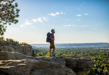
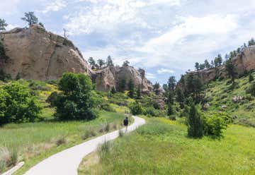
Black Hills National Forest
Deadwood, South Dakota, United States
Keystone, South Dakota, United States
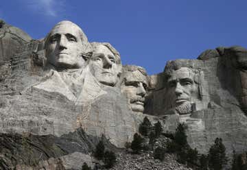
13000 SD Highway 244, Keystone, SD, US
Mount Rushmore National Memorial
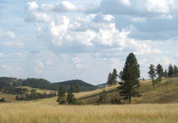
13400 US-16A, Custer, SD, US
Custer State Park


.JPG)