Next week I will be driving from Massachusetts to San Francisco for a new job in environmental sustainability, stopping at more than 10 national parks!
In my previous position at Northstar Recycling, I helped coordinate recycling for large manufacturing facilities and led my clients to divert over 90 million pounds of production waste from the landfill. I will be joining Sustainable Brands as a Business Development Associate. I'll be traveling with my mom, Amanda, and my dog, Joey Tribbiani.
405 Converse St, Longmeadow, Massachusetts United States
1623 3rd Ave, Manhattan, New York, New York United States
7180 Waterloo Rd, Jessup, Maryland 20794 USA
http://www.planetware.com/luray/shenandoah-national-park-us-va-shnp.htm
Dickey Ridge Visitor Ctr, Front Royal, Virginia United States

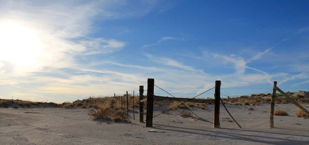
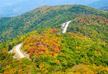
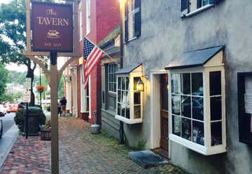
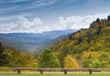
Mile Marker 39.1 of the Skyline Drive inside Shenandoah National Park Shenandoah National Park, Luray, VA, US
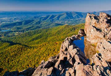
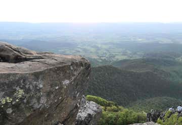
The second highest point in the park is Stony Man peak, and like Hawksbill Mountain, it offers a rewarding view from the summit. From the lookout, the view extends over the Shenandoah Valley, the town of Luray, and the Massanutten and Allegheny Mountains. This popular trail is quite easy and suitable for all levels of hikers. It is also frequently busy, but there is a large parking area. The trail rises gradually from the parking area at milepost 41.7 until it reaches the small, rock-covered lookout area. With the exception of the viewing area at the summit, the ground is level. The total distance of this lollipop-shaped hike is 1.6 miles, with 340 feet of elevation gain. Total time for this hike is about one hour. Pets are not allowed.
2365 Dugspur Rd, Callaway, Virginia United States

1921 Bouldercrest Dr, Dandridge, Tennessee United States
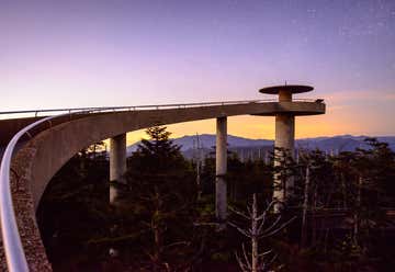
Great Smoky Mountains National Park, Gatlinburg, Tennessee United States

Eufaula, Alabama, United States

