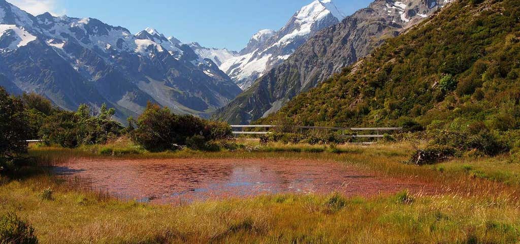
“Spectacular panorama of the valley and Aoraki/Mount Cook.”
Follow the track downhill from the public shelter to cross the bridge over Black Birch Stream and then climb steeply to the Red Tarns. The vegetation changes as you ascend from the valley foor to a superb panoramic viewpoint of the valleys below, the village and Aoraki/Mount Cook. The tarns are named for the red pond weed that grows in them. An aptly placed seat allows you to recover your breath and enjoy the views. This is a magnificent spot to view the sunset in summer.
Reviews
Be the first to add a review to the Red Tarns Track.
/170.1030522,-43.7494384,14/300x172@2x?access_token=pk.eyJ1Ijoicm9hZHRyaXBwZXJzIiwiYSI6ImNsdjQ5N2VtZDA2bW8ycW13ZHAxeGhjbjkifQ.UIccpoAxc7g3BAuK4s9vjg)
Red Tarns Track
Hours
Problem with this listing? Let us know.
Has RV parking changed? Let us know.
-
Parking
-
Pets Allowed
-
Restrooms
-
Wifi
-
Wheelchair Accessible
-
Credit Cards Accepted
Nearby Hotels
Related Trip Guides
Wellington to Gisborne Long Weekend Roadie
- 18 Places
- 19:22
- 826 mi
Cycle The Otago Central Rail Trail
- 34 Places
- 04:20
- 169 mi
Great Alpine Highway
- 29 Places
- 10:42
- 414 mi
