“Stroll on this Finger of Land”
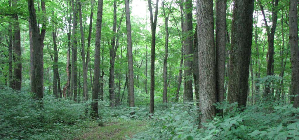
The 349-acre Warriors Path State Park lies very near the famous path used by the Iroquois in raids and wars with the Cherokees and other American Indians in southern Pennsylvania. The park is a seasonal day use area open from mid-April through the end of October. At other times of the year, visitors must park near the main gate and walk into the park. This finger of land is bounded on three sides by the Raystown Branch of the Juniata River, which empties into Raystown Lake approximately one mile downstream. The unique shape of the park was formed as a result of river meandering. This section of the river exhibits some of the best examples of natural stream meandering in the state. The 349-acre Warriors Path State Park lies very near the famous path used by the Iroquois in raids and wars with the Cherokees and other American Indians in southern Pennsylvania. Various tracts of land for the park were donated beginning in 1959. The park was dedicated in the summer of 1965.
Be the first to add a review to the Warriors Path State Park.
/-78.257582,40.197238,14/300x172@2x?access_token=pk.eyJ1Ijoicm9hZHRyaXBwZXJzIiwiYSI6ImNsdjQ5N2VtZDA2bW8ycW13ZHAxeGhjbjkifQ.UIccpoAxc7g3BAuK4s9vjg)
Warriors Path State Park
Hours
Problem with this listing? Let us know.
Has RV parking changed? Let us know.
-
Parking
-
Pets Allowed
-
Restrooms
-
Wifi
-
Wheelchair Accessible
-
Credit Cards Accepted
Nearby Hotels
Related Trip Guides
- Trip Guide
Pay Tribute and Reflect at These US Monuments and Memorials
- 14 Places
- Trip Guide
The top things to do on an I-95 road trip
- 50 Places
- 41:46
- 1,983 mi
- Trip Guide
The top things to do on an East Coast road trip
- 32 Places
- 48:54
- 2,584 mi
- Trip Guide
The top things to do on an I-80 road trip
- 35 Places
- 53:41
- 3,194 mi