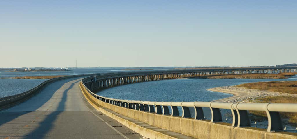
Along this incredible byway down North Carolina's coastal Outer Banks Scenic Byway, you'll explore everything from wildlife to beaches, to shipwrecks and lighthouses, to the very location where the Wright brothers changed history with their first flight. Get ready for loads of seaside charm as you road trip along the Outer Banks! - Roadtrippers
Outer Banks National Scenic Byway North Carolina Highway 12.
Length: 142.5 driving miles
Driving Time: 6.5 hours, including 3.5 hours on two ferries
Regions: Outer Banks, Crystal Coast
From Whalebone Junction in Dare County to Beaufort in Carteret County the Outer Banks National Scenic Byway traces the easternmost parts of North Carolina along the state’s barrier islands. The unique maritime culture shared by the 21 coastal villages along this route led to its designation as a National Scenic Byway.
North Carolina’s barrier islands extend from the northern state line south to Cape Lookout. They are separated from the mainland by six broad yet shallow sounds ranging from three to 40 miles wide. From north to south, they are: Currituck, Albemarle, Roanoke, Pamlico, Core and Bogue. Pamlico Sound is the largest sound on the East Coast, covering more than 1,800 square miles. It’s visible to the west along many portions of the Byway, which crosses its waters via ferry from Ocracoke Island to both Hatteras and Cedar Island.


/-75.9872497726655,35.1156462270744,14/300x172@2x?access_token=pk.eyJ1Ijoicm9hZHRyaXBwZXJzIiwiYSI6ImNsdjQ5N2VtZDA2bW8ycW13ZHAxeGhjbjkifQ.UIccpoAxc7g3BAuK4s9vjg)