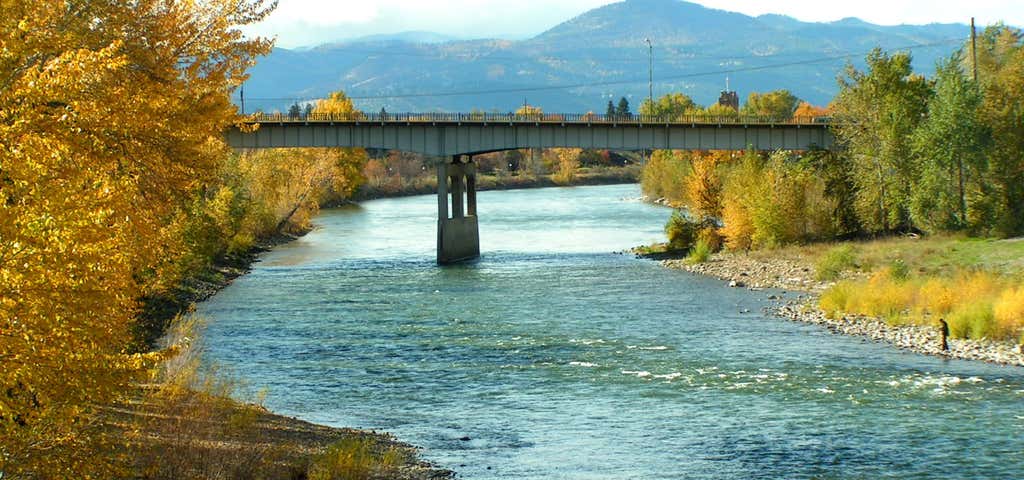
The Clark Fork, or the Clark Fork of the Columbia River, is a river in the U.S. states of Montana and Idaho, approximately long. The largest river by volume in Montana, it drains an extensive region of the Rocky Mountains in western Montana and northern Idaho in the watershed of the Columbia River. The river flows northwest through a long valley at the base of the Cabinet Mountains and empties into Lake Pend Oreille in the Idaho Panhandle. The Pend Oreille River in Idaho, Washington, and British Columbia, Canada which drains the lake to the Columbia in Washington, is sometimes included as part of the Clark Fork, giving it a total length of , with a drainage area of . In its upper in Montana near Butte, it is known as Silver Bow Creek. Interstate 90 follows much of the upper course of the river from Butte to northwest of Missoula. The highest point within the river's watershed is Mount Evans at in Deer Lodge County, Montana along the Continental Divide. The Clark Fork is a Class I river for recreational purposes in Montana from Warm Springs Creek to the Idaho border. The Clark Fork should not be confused with the Clarks Fork of the Yellowstone River, which is located in Montana and Wyoming.
Be the first to add a review to the Clark Fork River Trail.
/-114.0022346245282,46.872508305387726,14/300x172@2x?access_token=pk.eyJ1Ijoicm9hZHRyaXBwZXJzIiwiYSI6ImNsdjQ5N2VtZDA2bW8ycW13ZHAxeGhjbjkifQ.UIccpoAxc7g3BAuK4s9vjg)
Clark Fork River Trail
Hours
Problem with this listing? Let us know.
Has RV parking changed? Let us know.
-
Parking
-
Pets Allowed
-
Restrooms
-
Wifi
-
Wheelchair Accessible
-
Credit Cards Accepted
Nearby Hotels
Related Trip Guides
- Trip Guide
Pay Tribute and Reflect at These US Monuments and Memorials
- 14 Places
- Trip Guide
The ultimate guide to Yellowstone National Park
- 19 Places
- 02:35
- 80 mi
- Trip Guide
The Great Northern is a 3,600 mile, cross-country odyssey
- 57 Places
- 69:15
- 3,565 mi
- Trip Guide
The Ultimate Guide To Glacier National Park
- 16 Places