“hike or horseback this scenic trail”
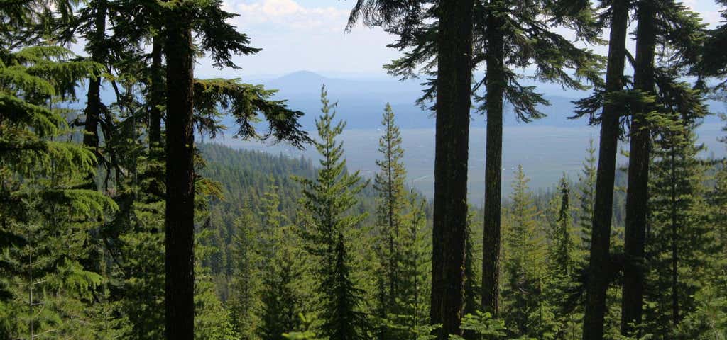
The Nannie Creek trail is 4.3 miles long. It begins at Trailhead At Road 3484 and ends at Forest Trail 3739. The trail is open for the following uses: Hiking, Horseback Riding From the trailhead at an elevation of 6,000 feet, the Nannie Creek Trail winds back and forth up a steep slope, following the rocky contours through the heavily forested slopes of Lather Mountain (6,917') to the southwest. After coursing across a relatively level basin, the trail passes neat the southern shore of Puck Lake, through mixed conifer groves, across a rock face which affords a marvelous view to the south, and joins the Snow Lakes trail about half a mile south of the upper Snow Lakes group. Minimum impact visitation is required to preserve this fragile and primitive wilderness environment.

From the trailhead at an elevation of 6,000 feet, the Nannie Creek Trail winds back and forth up a steep slope, following the rocky contours through the heavily forested slopes of Lather Mountain (6,917') to the southwest. After coursing across a relatively level basin, the trail passes neat the southern shore of Puck Lake, through mixed conifer groves, across a rock face which affords a marvelous view to the south, and joins the Snow Lakes trail about half a mile south of the upper Snow Lakes group. Minimum impact visitation is required to preserve this fragile and primitive wilderness environment.
Be the first to add a review to the Nannie Creek Trail.
/-124.268005,42.0615121,14/300x172@2x?access_token=pk.eyJ1Ijoicm9hZHRyaXBwZXJzIiwiYSI6ImNsdjQ5N2VtZDA2bW8ycW13ZHAxeGhjbjkifQ.UIccpoAxc7g3BAuK4s9vjg)
Nannie Creek Trail
Hours
Problem with this listing? Let us know.
Has RV parking changed? Let us know.
-
Parking
-
Pets Allowed
-
Restrooms
-
Wifi
-
Wheelchair Accessible
-
Credit Cards Accepted
Nearby Hotels
Related Trip Guides
- Trip Guide
A road trip to filming locations featured in 'The Goonies'
- 6 Places
- 00:57
- 28 mi
- Trip Guide
Pay Tribute and Reflect at These US Monuments and Memorials
- 14 Places
- Trip Guide
The Ultimate Guide To Joshua Tree National Park
- 53 Places
- 11:44
- 408 mi
- Trip Guide
The top things to do on an I-40 road trip
- 35 Places
- 49:44
- 2,851 mi