Remove Ads

Lake Tahoe

  • 17
  • 02:34
  • 92 mi
  • $15
Take This Trip

Created by Bailey Kinsey - September 7th 2015

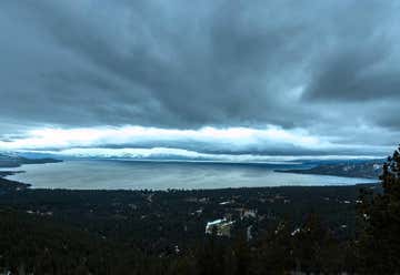
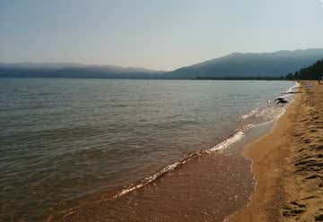
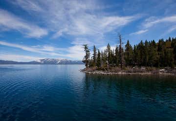
Incline Village, Nevada, United States

1
2mi 00h 05m
Photo of Mt. Rose Scenic Lookout
4.5

Mount Rose Hwy, Incline Village, NV, US

Mt. Rose Scenic Lookout

1
2
1mi 00h 03m
Photo of North Tahoe Beach
3.4

N Lake Blvd, Kings Beach, CA, US

North Tahoe Beach

2
3
8mi 00h 14m
Photo of Whale Beach
4.7

Nevada 28 Incline Village, Incline Village, NV, US

Whale Beach

3
4
0mi 00h 00m
Photo of Secret Cove
4.7

Nevada 28 Incline Village, Incline Village, NV, US

Secret Cove

4
5
2mi 00h 04m
Photo of Bonsai Rock
4.0

Lake Tahoe, NV, US

Bonsai Rock

5
6
25mi 00h 37m
Photo of Eagle Falls Trail
4.5

Hwy 89, South Lake Tahoe, CA, US

Eagle Falls Trail

6
7
1mi 00h 02m
Photo of Pope Beach
4.5

Pope Beach Road, South Lake Tahoe, CA, US

Pope Beach

7
8
3mi 00h 07m
Photo of Lake Tahoe
4.5

CA, US

Lake Tahoe

8
9
2mi 00h 04m
Photo of Emerald Bay State Park
5.0

Highway 89, South Lake Tahoe, CA, US

Emerald Bay State Park

9
10
2mi 00h 03m
Photo of DL Bliss State Park
4.1

Highway 89, South Lake Tahoe, CA, US

DL Bliss State Park

10
11
5mi 00h 09m

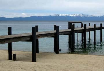
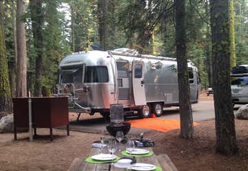
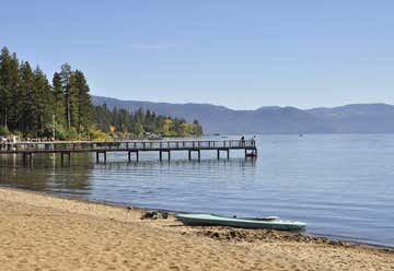
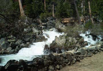
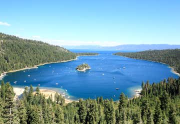
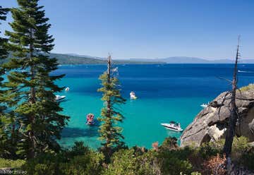
Meeks Bay Campground Is Located 10 Miles South Of Tahoe City, On California Highway 89, Tahoma, CA, US

Meeks Bay Tahoe

11
12
1mi 00h 04m
Photo of Sugar Pine Point State Park
4.5

West Lake Blvd., Tahoma, CA, US

Sugar Pine Point State Park

12
13
1mi 00h 04m
Photo of Washoe Meadows State Park
3.7

Sierra District Headquarters, Tahoma, CA, US

Washoe Meadows State Park

13
14
7mi 00h 14m
Photo of Paige Meadows
4.0

Silver Tip Dr & Club Dr, Tahoe City, CA, US

Paige Meadows

14
15
5mi 00h 12m
Photo of Burton Creek State Park
4.0

Tahoe City, CA, US

Burton Creek State Park

15
19mi 00h 31m
Photo of Sand Harbor at Lake Tahoe
4.1

Tahoe Blvd, Incline Village, NV, US

Sand Harbor at Lake Tahoe