Created by Anthony King - May 9th 2015
Ogden, Utah, United States
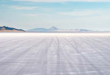
I-80 Westbound, Wendover, UT, US
Bonneville Salt Flats
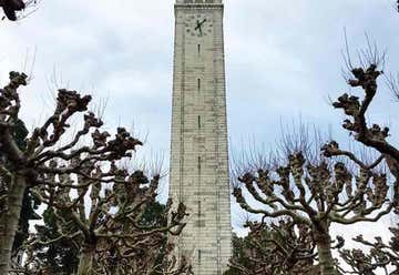
S Hall Rd, Berkeley, CA, US
The Campanile
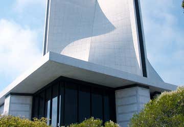
1111 Gough St, San Francisco, CA, US
Cathedral of Saint Mary of the Assumption
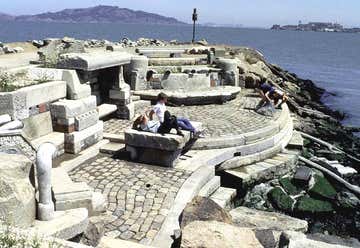
1 Yacht Road, San Francisco, CA, US
The Wave Organ
2500 El Camino del Mar, San Francisco, CA, US
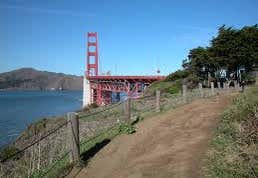
Coastal Trail
US-101, Sausalito, CA, US
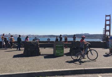
Vista Point
Golden Gate National Recreation Area, Sausalito, CA, US
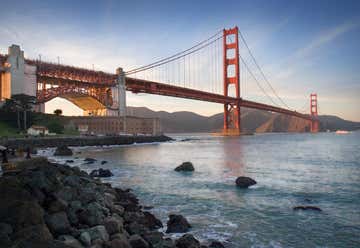
Fort Baker
Horseshoe Bay, Sausalito, CA, US
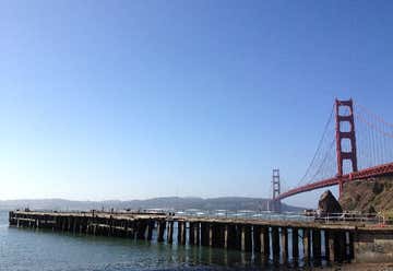
Fort Baker Pier
Conzelman Road, Sausalito, CA, US
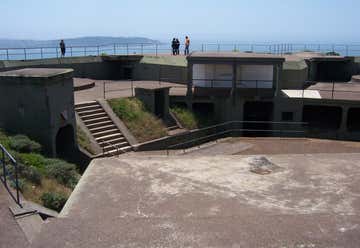
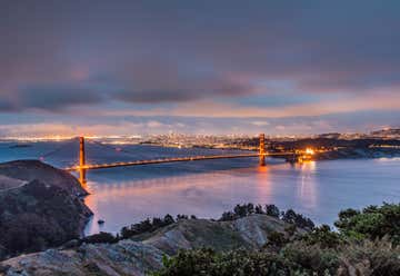
Battery Spencer
Bicycle Route 202, San Francisco, CA, US
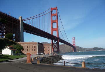
Fort Point National Historic Site
999 Marine Dr, San Francisco, CA, US
US Highway 101, San Francisco, CA, US
Golden Gate Bridge
Marin Headlands
Building 948 Fort Barry, Sausalito, CA, US
Bicentennial Campground
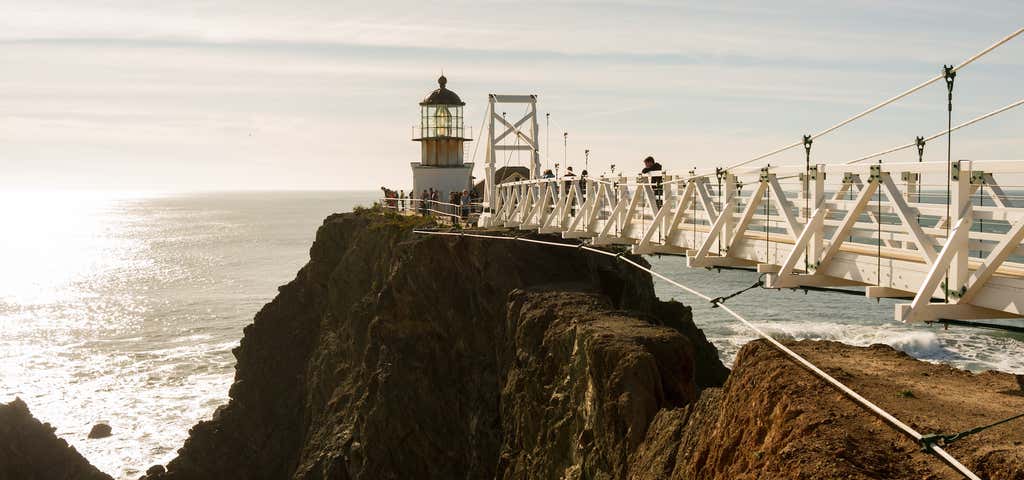
Point Bonita Trailhead Field Rd Sausalito, CA 94965, Sausalito, CA, US
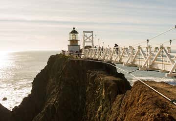
Point Bonita Lighthouse