Created by tonya.denmark - October 11th 2021
780 S Airport Blvd, San Francisco, CA, US
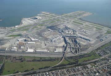
Sanfransisco Airport
22990 Clawiter Road, Hayward, California, United States
15555 Hesperian Blvd, San Leandro, CA, US
Walmart
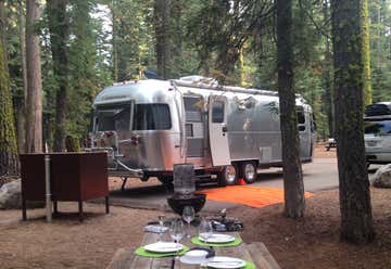
Bodega Dunes, CA, US
Bodega Dunes Campground
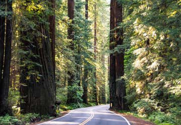
6831 Avenue of the Giants, Miranda, CA, US
Avenue Of The Giants
45 Fellowship Way, CA, US
Redwood Roots Farm
123303 U.S. 101, CA, US
Berry Glenn
Old HIghway 101, Orick, CA, US
Newton B Drury - Redwood Scenic Parkway
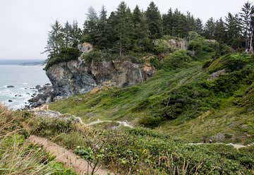
4150 Patricks Point Drive, Trinidad, CA, US
Patrick's Point State Park
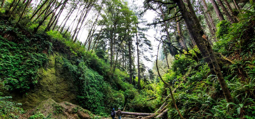
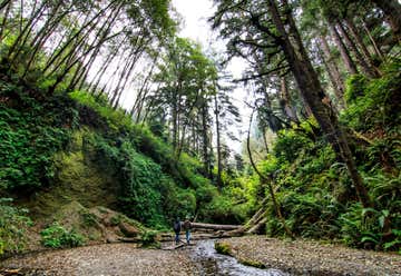
Davision Rd. to Gold Bluffs Beach, CA, US
Fern Canyon
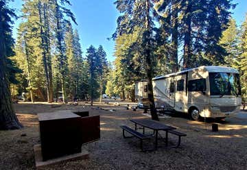
Manzanita Lake Campground, Shingletown, CA, US
Manzanita Lake Campground
44801 State Highway 36 E, Mineral, CA, US
Lassen Volcanic National Park
CA, US
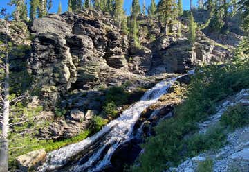
Kings Creek Falls
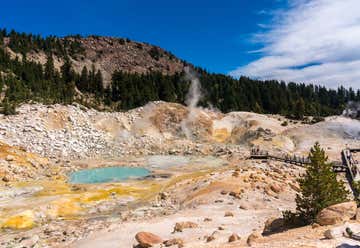
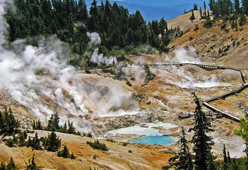
Bumpass Hell
Lassen Volcanic National Park, CA, US
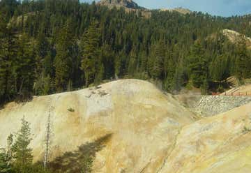
Sulphur Works
Highway 89, Sierraville, CA, US
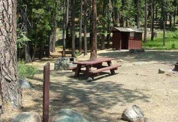
Cold Creek Campground
521 N Lake Blvd, Tahoe City, CA, US
Tahoe City Kayak
sugar pine point, CA, US
Sugar Pine Point Lighthouse
West Lake Blvd., Tahoma, CA, US
Sugar Pine Point State Park
rubicon point, CA, US
Rubicon Point Light