Created by SactoSteve - August 13th 2021
2000 Main St, UT, US
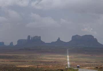
Gouldings Monument Valley Campground
Highway US 163, Mexican Hat, UT, US
Forrest Gump Point
17 mile loop road, UT, US
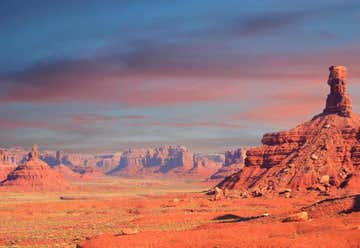
Valley of the Gods
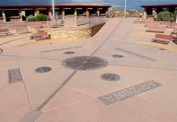
NM-597, Teec Nos Pos, AZ, US
Four Corners Monument
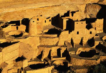
Mile .7 Headquarters Loop Road, CO, US
Mesa Verde National Park
County Road 229, Blanding, UT, US
Arch Canyon
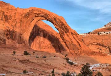
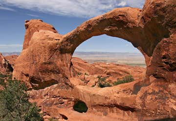
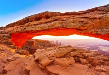
N Highway 191, Moab, UT, US
Arches National Park
Moab, UT, US
Canyonlands National Park
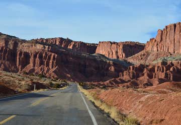
Route 12, Escalante, UT, US
Scenic Byway Route 12
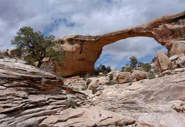
Hc 60 Box 1, Blanding, UT, US
Natural Bridges National Monument
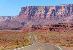
Highway 89A, Marble Canyon, AZ, US
Vermillion Cliffs Scenic Highway
AZ, US
Grand Canyon North Rim Headquarters
Grand Canyon Inn and Campground
Hwy 67, North Rim, AZ, US
Grand Canyon Lodge
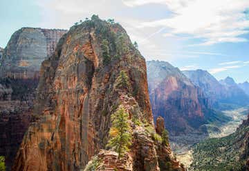
Zion National Park, Springdale, UT, US
Zion National Park
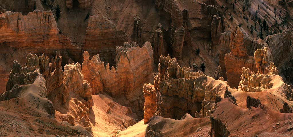
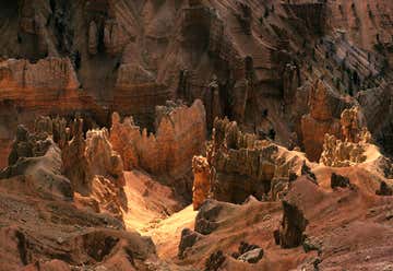
State Highway 143, Cedar City, UT, US
Cedar Breaks National Monument