
"Buck Creek Pocket"

"Ollallie (Weeks Falls area below the dam)"

"Falls Creek Campground (lake quinault)"
while quinault lodge has a nice swimming area with floating dock, this little creek is simply amazing. Besides the main pool, there is a little plunge hold 6' above it. Can't recall if you wanted site 19 or 20. Book both, it is worth it.
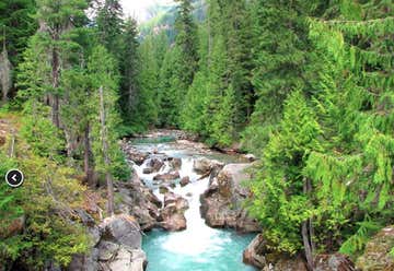
Johnson Creek & Glacier Creek (stay right on 21, after 4.3 miles turn right unto 2115, drive 0.2 miles park at rd end)

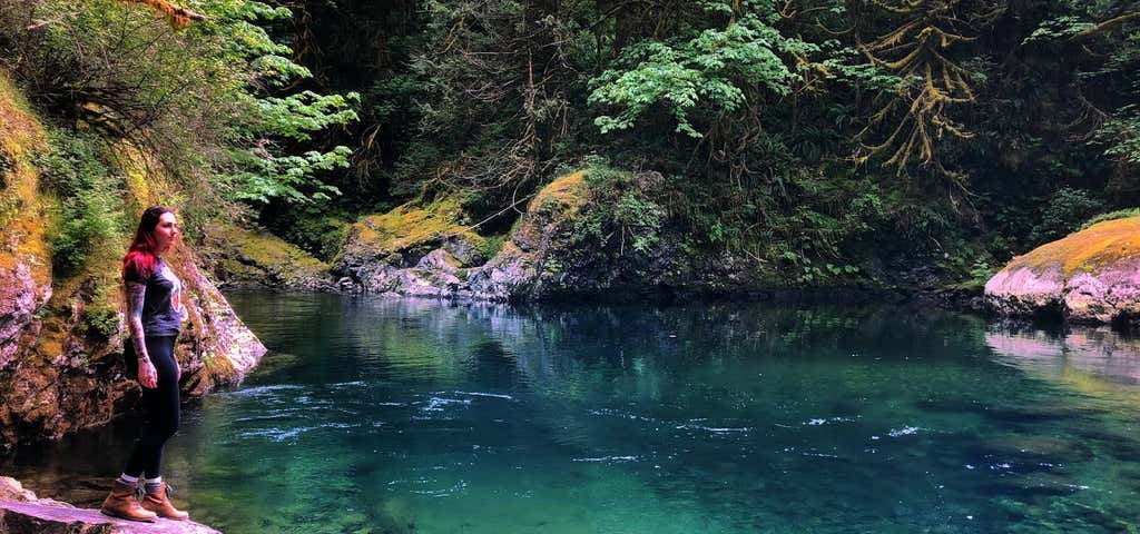
"Salmon La Sac Swimming Hole"

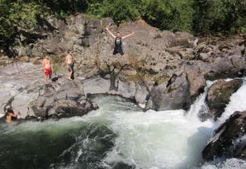
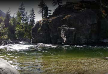
"Big Eddy (Gold Bar)"

"Leavenworth Town/Blacks Beach"
Fairly popular. Lots of folks take float tubes off the bridge downstream of Osprey Adventures on icycle rd to this park (takes about an hour)

"Old Pipeline Bed Trailhead"

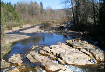
"Lower Dryden Public Access"
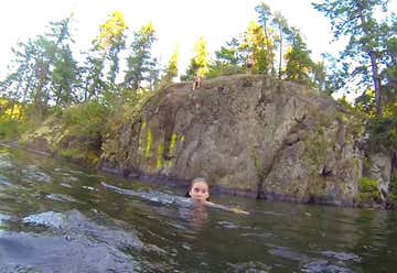
For easy beach swim about 1mile down trail go left (clockwise) about 0.3 miles. For cliff jumping at the fork go right (counterclockwise), west around lake. For main jump area go 0.5 miles until you get close to the island, swim 100' and climb up to viewers right. Smallest jump is 10', I think it gets up to almost 50'.

"Marblemount Skagit Beach"

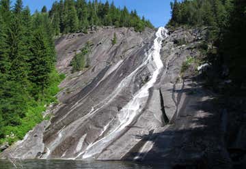
"Lazy Bear Falls (Bacon Creek)"
4WD required (may be overgrown also...)up 1060 for 5 miles, at three way fork turn left on 1064, down to and over a bridge crossing bacon creek (I think this is a feeder not bacon). Continue up for 0.6 miles. The road then switches back, and a fire pit should be visible on left side. Take the rosad to the left, FR 1065, for 0.8 miles. Park at the turnaround.
If you can't make it there is a decent small hole only 0.7 miles up bacon creek rd for rt 20.

"Twisp Park"

"Boulder Creek Falls (Winthrop)"

"Mazama Swimming Hole"
From T in mazama go left 3.2miles up lost river rd to dirt pullout on left that holds about 12 cars.
Banner Photo Credit: m004770
