Remove Ads

Pacific Coast Highway Trip

  • 14
  • 23:04
  • 919 mi
  • $152
Take This Trip

Created by Clarence Way - February 5th 2020

Marina del Rey, California, United States

1
51mi 01h 22m
Photo of Port Hueneme Light
4.6

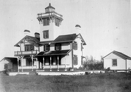
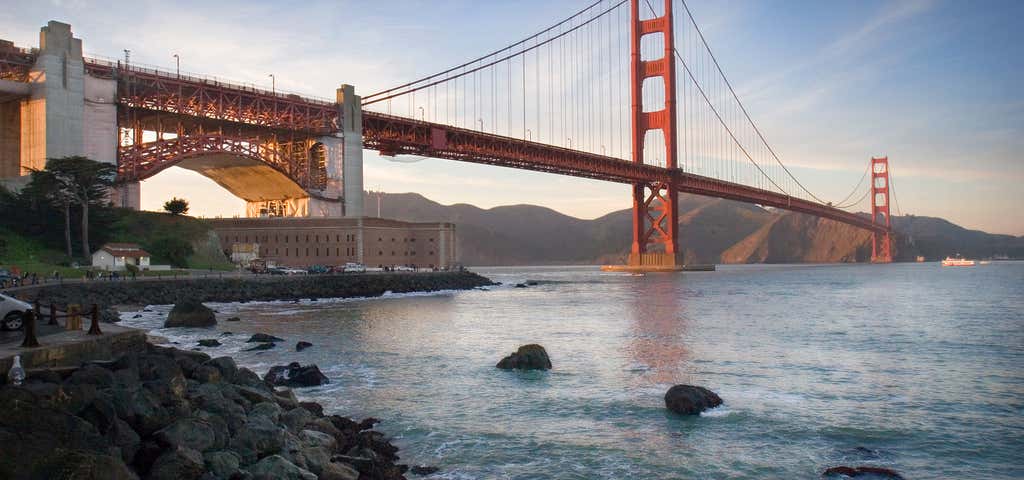
Lighthouse Promenade Near intersection of Surfside Drive and Ventura Road, Port Hueneme, CA, US

Port Hueneme Light

1
2
1mi 00h 09m

3201 N Ventura Rd, Port Hueneme, CA, US

U.S. Navy Seabee Museum

2
3

via detour

67mi 02h 02m
Photo of Moreton Bay Fig Tree
4.5

100 W Montecito St, Santa Barbara, CA, US

Moreton Bay Fig Tree

3
4

via Sweeney Rd

32mi 00h 39m

1065 Guadalupe St, Guadalupe, CA, US

Dunes Center

4
5

via Fort Hunter Liggett

47mi 01h 52m
Photo of Point Sur State Historic Park
4.5

Station 1, Big Sur, CA, US

Point Sur State Historic Park

5
6
6mi 00h 24m

Highway 1, Big Sur, CA, US

Bixby Bridge

6
7
18mi 00h 37m
Photo of Lone Cypress (17 Mile Drive)
3.9

17 Mile Dr, Del Monte Forest, CA, US

Lone Cypress (17 Mile Drive)

7
8
3mi 00h 11m
Photo of 17-Mile Drive
4.5

Monterey, CA, US

17-Mile Drive

8
9
3mi 00h 12m
Photo of Pacific Grove Oceanview Boulevard
5.0

Pacific Grove Oceanview Blvd., Pacific Grove, CA, US

Pacific Grove Oceanview Boulevard

9
10
2mi 00h 12m
Photo of Monterey Old Fisherman's Wharf
4.0

1 Fishermans Whrf, Monterey, CA, US

Monterey Old Fisherman's Wharf

10
11
130mi 03h 32m
Photo of Hell's Angels House
3.3

715 Ashbury Street, San Francisco, CA, US

Hell's Angels House

11
12
8mi 00h 28m
Photo of Golden Gate Bridge
4.5

US Highway 101, San Francisco, CA, US

Golden Gate Bridge

12

via 1/2 Ave

164mi 02h 52m

Sylmar, California, United States