Remove Ads

Southwest Trip

  • 84
  • 143:42
  • 7,342 mi
  • $745
Take This Trip

Created by woodchadt - November 6th 2016

1
592mi 08h 31m
Photo of Garden of The Gods
5.0

1805 N 30th St, Colorado Springs, CO, US

Garden of The Gods

1
2
30mi 01h 09m
Photo of Pikes Peak
4.5

Colorado Springs, CO, US

Pikes Peak

2
3
212mi 04h 26m

51000 Two Rivers Plaza Rd, Glenwood Springs, CO, US

Glenwood Caverns Adventure Park

3
4
157mi 02h 52m
Photo of Black Canyon of the Gunnison National Park - South Rim
4.3
4
5
181mi 03h 01m
Photo of Arches National Park
5.0

N Highway 191, Moab, UT, US

Arches National Park

5
6
28mi 00h 39m
Photo of Dead Horse Point Scenic Drive
5.0

Dead Horse Point State Park, Moab, UT, US

Dead Horse Point Scenic Drive

6
7
18mi 00h 31m
8
157mi 03h 09m
Photo of Valley of the Gods
4.8

17 mile loop road, UT, US

Valley of the Gods

8
9
50mi 01h 40m
Photo of Natural Bridges National Monument
4.5

Hc 60 Box 1, Blanding, UT, US

Natural Bridges National Monument

9
10
45mi 01h 19m
Photo of Goosenecks State Park
4.5

660 West 400 North, Blanding, UT, US

Goosenecks State Park

10
11
32mi 00h 42m

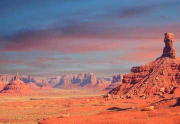
Monument Valley, UT, United States

11
12
125mi 02h 14m

55 S Lake Powell Blvd, Page, AZ, US

Antelope Slot Canyon Tours

12
13
5mi 00h 10m
Photo of Horseshoe Bend
5.0

Highway 89, Page, AZ, US

Horseshoe Bend

13
14
10mi 00h 21m
Photo of Lake Powell
4.4

Glen Canyon Nat'l Recreation Area, Page, AZ, US

Lake Powell

14
15
0mi 00h 04m
Photo of Lake Powell Boat Tours
4.0

100 Lakeshore Drive Wahweap Marina, Page, AZ, US

Lake Powell Boat Tours

15
16
189mi 03h 28m

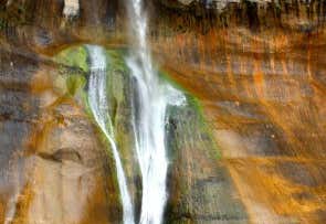
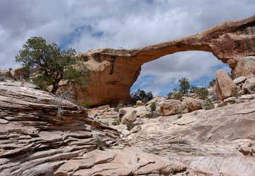
Escalante, UT, United States

16
17
55mi 01h 31m
Photo of Slot Canyon
4.5

Burr Trail Road, UT, US

Slot Canyon

17
18
36mi 01h 06m
Photo of Calf Creek Falls Recreation Area
5.0

Utah Highway 12 15.5 miles east of Escalante, Escalante, UT, US

Calf Creek Falls Recreation Area

18
19
55mi 01h 20m

16 Scenic Dr, Torrey, UT, US

Capitol Reef National Park

19