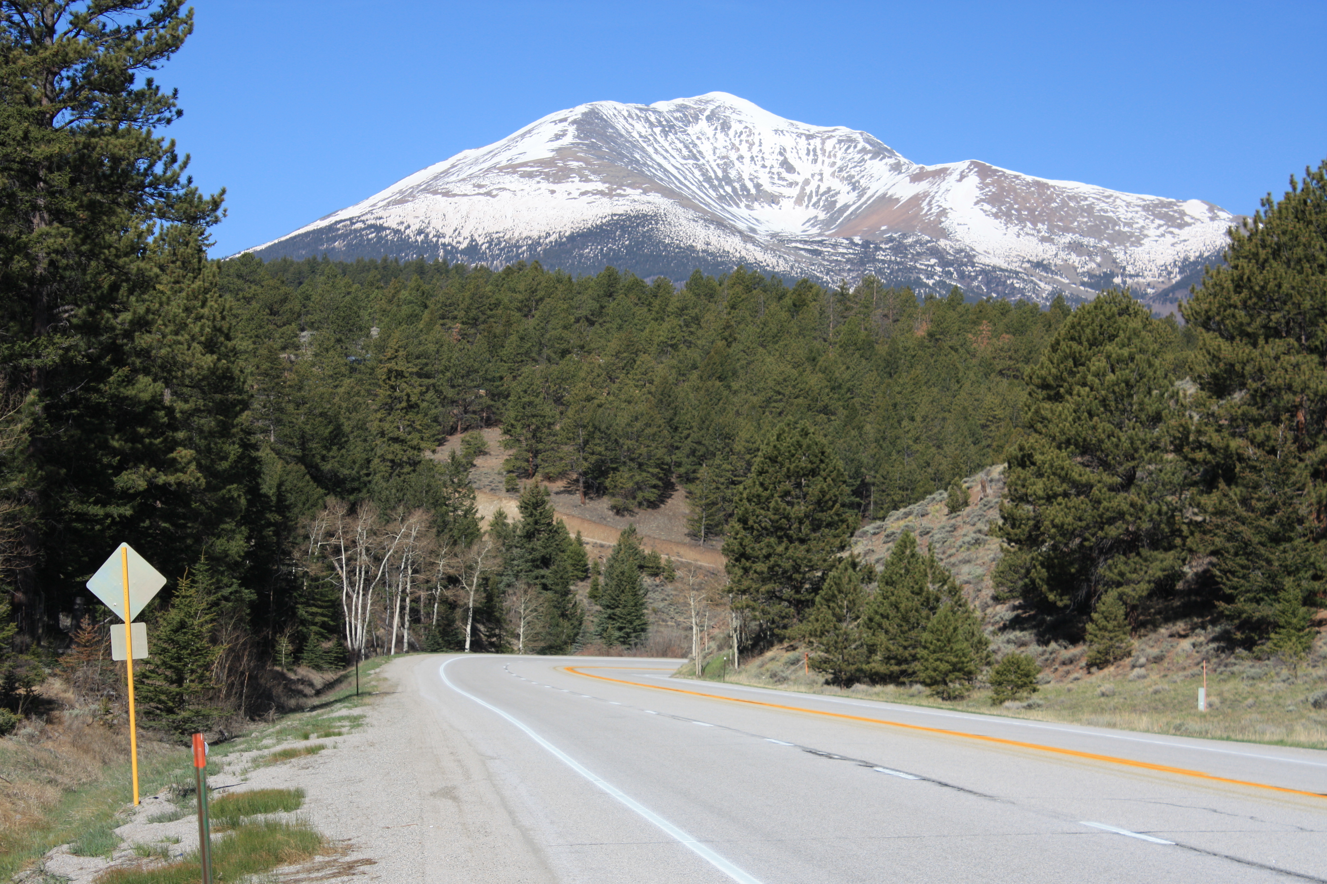
Poncha Pass (9,010 ft/2,745 m) is a mountain pass in South-Central Colorado (USA). It lies between the San Luis Valley to the south and the valley of the Arkansas River to the north, and is one of the lowest mountain passes in the state. It is in the saddle between the Sangre de Cristo Range, lying to the southeast, and the Sawatch Range, lying to the west and northwest. U.S. Highway 285 runs over the pass, linking the towns of Alamosa to the south and Salida to the northeast. The small town of Poncha Springs lies about 6 miles (9 km) north of the pass. The pass has a mild approach on the northern side and a moderate 5% approach from the south, though it remains open all year round and does not normally cause problems for vehicles in winter. Poncha Pass lies on the border between Chaffee County and Saguache County, and on the border between the San Isabel National Forest and the Rio Grande National Forest.
Be the first to add a review to the Poncha Pass.
/-106.0864,38.4222,14/300x172@2x?access_token=pk.eyJ1Ijoicm9hZHRyaXBwZXJzIiwiYSI6ImNsczF1Y3RwcTA0ZmgycHAwbngweHlmbDAifQ.G6RP_RvWmMx8yNQSHb3PGQ)
Poncha Pass
Hours
Problem with this listing? Let us know.
Has RV parking changed? Let us know.
-
Parking
-
Pets Allowed
-
Restrooms
-
Wifi
-
Wheelchair Accessible
-
Credit Cards Accepted
Nearby Hotels
Related Trip Guides
- Trip Guide
Road trip to the filming locations of 'Dumb and Dumber'
- 8 Places
- 41:01
- 2,643 mi
- Trip Guide
The top things to do on a U.S. Route 20 road trip
- 23 Places
- 60:25
- 3,576 mi
- Trip Guide
Roadtrippers guide to mysterious Mesa Verde National Park
- 10 Places
- Trip Guide
The Ultimate Guide to Rocky Mountain National Park
- 15 Places