“it's always a good day for a ride”
O'Leary Mountain Trail #3321 is a more to most difficult 9.1 mile hike at an elevation of 2,400 feet. Hikers are afforded excellent views of the McKenzie Balley , Three Sisters Peaks and Cougar Reservoir. The trial crossed McLennon, McDuff and O'Leary Mountain. There are some unique rock formations (pinnacles) along the way. Directions from Blue River: Travel 3.5 miles east on Hwy. 126 to Aufderheide Drive (FS road 19). Continue on Aufderheide Drive to FS Rd. 1900-410 and travel for 2 miles to the powerhouse at Cougar dam. Just before entering the Corps of Engineers enclosure turn east on 1900-411 and proceed 2.5 miles. The trailheads common to the Castle Rock and Echo Trailhead.

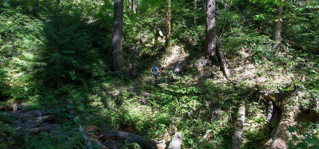
The Chucksney Mountain Trail (#3306) is a very difficult 6 mile hike. Starting at the Box Canyon Horse Camp, at an elevation of 3728 feet, follow the Grasshopper Trail 0.25 miles to the junction of the Chucksney Trail. The Chucksney Trail takes you through large trees, meadows and to the top of Chucksney Mt. for a view of the South Fork of the McKenzie River drainage and the Three Sisters Mountains, the trail them loops back to Grasshopper Trail. It's a good day ride for horses but is steep in places.
Be the first to add a review to the Chucksney Mountain Trail.
/-122.0917389,44.0604696,14/300x172@2x?access_token=pk.eyJ1Ijoicm9hZHRyaXBwZXJzIiwiYSI6ImNsczF1Y3RwcTA0ZmgycHAwbngweHlmbDAifQ.G6RP_RvWmMx8yNQSHb3PGQ)
Chucksney Mountain Trail
Hours
Problem with this listing? Let us know.
Has RV parking changed? Let us know.
-
Parking
-
Pets Allowed
-
Restrooms
-
Wifi
-
Wheelchair Accessible
-
Credit Cards Accepted
Nearby Hotels
Related Trip Guides
- Trip Guide
A road trip to filming locations featured in 'The Goonies'
- 6 Places
- 00:57
- 28 mi
- Trip Guide
The Ultimate Guide to Crater Lake National Park
- 15 Places
- Trip Guide
- Weekend
Pacific Coast Highway: Oregon - Washington
- 30 Places
- 17:36
- 670 mi
- Trip Guide
The top things to do on a U.S. Route 20 road trip
- 23 Places
- 60:25
- 3,576 mi