Created by melynda - July 25th 2020
1625 160 East, Farmington, Utah
Arches Entrance Road, Moab, UT, US
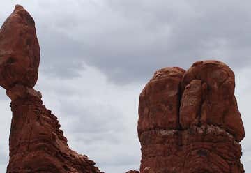
Balanced Rock
Arches National Park, Moab, UT, US
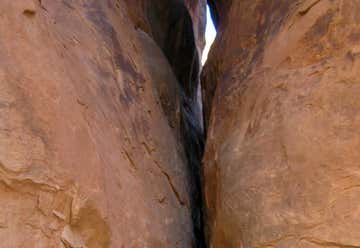
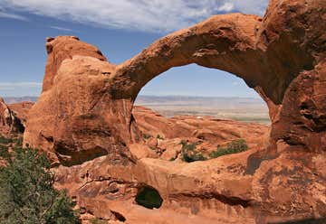
Fiery Furnace Hike
Devils Garden Rd, Moab, UT, US
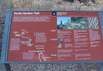
Devil's Garden Trail
State Road 313, Moab, UT, US
Dead Horse Point State Park
Moab, UT, US
Canyonlands National Park
Monticello, UT, US
Canyonlands Needles Outpost
N Highway 191, Moab, UT, US
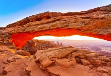
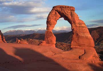
Arches National Park
Delicate Arch Road, Moab, UT, US
Delicate Arch Trail
Moab, Utah, United States
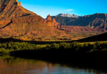
Fisher Towers Utah 84532, Moab, UT, US
Fisher Towers Moab,
Utah 211 Scenic, Monticello, UT, US
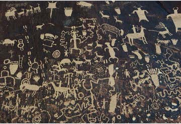
Newspaper Rock State Historical Monument
Hc 60 Box 1, Blanding, UT, US
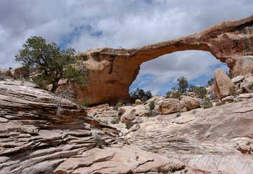
Natural Bridges National Monument
US Highway 163 Northeast, Mexican Hat, UT, US
Mexican Hat Rock Formation
Near, Mexican Hat, UT, US
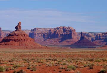
Valley Of The Gods, Utah
660 West 400 North, Blanding, UT, US
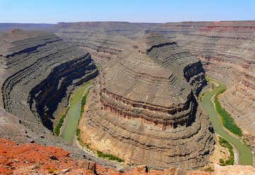
Goosenecks State Park
Highway US 163, Mexican Hat, UT, US
Forrest Gump Point
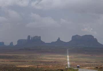
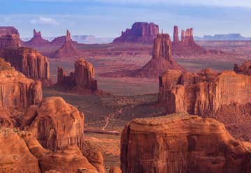
U.S. 163 Scenic, Oljato-Monument Valley, AZ, US
Monument Valley
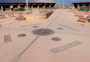
NM-597, Teec Nos Pos, AZ, US
Four Corners Monument
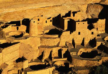
CO, US
Mesa Verde National Park